- All Categories (1171)
- Data (4)
- News (9)
- Missions (3)
- Events (3)
- Tools (2)
- Activities (2)
- Documents (1148)
News - Thematic area articles
Transforming space data into climate action
ESA’s Earth observation activities are playing a key role in the revitalised global drive to combat climate change.
Document - Technical Note
The RA-2 On-Board Tracker and its Autonomous Adaptable Resolution
This technical note describes the complete functionality of the RA-2 on-board Tracker and how its Resolution Selection Logic (RSL) works. It gives a detailed analysis of the algorithm and its configuration parameters.
Document - General Reference
The Envisat Radar Altimeter System (RA-2)
This article was published in the ESA Bulletin Nr. 98 and givesdetails on RA-2 and on its role in the ENVISAT mission.
Activity - Quality
SLAP
The SLAP (Systematic Landsat Archive Processing) project covers the MSS, TM and ETM+ products from Landsat missions 1 – 7, and is the first systematic reprocessing of the ESA Landsat archive.
Document - Conference Presentation - Poster
Remaining-East-West-bias-explained.pdf
This presentation shows the results obtained from a scientific assessment on the use of GDR-D improved orbit standard and of the consequent improvement in the Sea Surface Height and Sea Level Anomaly Data of altimeter GDR data (A. Ollivier, OSTST 2011).
Document - Publication - Paper
RA-2-S-Band-anomaly-detection-and-waveforms-reconstruction.pdf
This paper describes the algorithm developed for the L1b processor that allows to set a flag identifying the data affected by the S-Band anomaly and reconstruct normal echo waveforms.
Document - Product Cal/Val Plan/Report
RA-2-In-Flight-Instrument-Calibration-and-Level-1b-Verification-Plan.pdf
This document describes the plan for the RA-2 In-flight Instrument Calibration and Level lb Verification procedures.
Document - Product Cal/Val Plan/Report
Passive Calibration of the Backscattering Coefficient of the Envisat RA-2
Passive Calibration of Backscattering Coefficient of Envisat RA-2: final report
Document - Publication - Paper
OPERATIONAL-CORRECTION-FOR-THE-RA2-SIDE-A-USO-ANOMALY.pdf
This paper presents the method implemented to correct the anomalous data as well as the assessment of the quality and performance of the corrected data through two different analyses.
News - Data Release news
New reprocessed Landsat data on a new dissemination server
The full ESA Landsat archive has been reprocessed with the latest version of the processor to provide a homogenous dataset covering MSS, TM and ETM+ data.
Document - Technical Note
Level-1B-and-Level-2-processing-upgrades.pdf
This document contains user information relative to the operational implementation of the RA2/MWR Level 1b IPF version up to v6.04 and Level 2 processor CMA v9.3 used to generate Altimetry Data Set 2.1.
Document - Algorithms Theoretical Baseline Document
Landsat-TM-Data-Format-Control-Book-DFCB.pdf
This document describes the algorithms, radiometric and geometric processing of the European Space Agency (ESA) Landsat Multispectral Scanner (MSS), Thematic Mapper (TM) and Enhanced Thematic Mapper Plus (ETM+) products. It is intended to point towards useful resources for more information rather than provide full descriptions of the specific algorithms used during the processing.
Document - Technical Note
Landsat-ETM-Data-Format-Control-Book.pdf
USGS Level 1 product specification, with which the ESA reprocessed TM and ETM+ products are compliant.
Mission - Heritage Missions
Landsat-7
Landsat-7 is a joint USGS and NASA-led Earth observation mission, which was launched in 1999 and remains operational.
Mission - Heritage Missions
Landsat Series
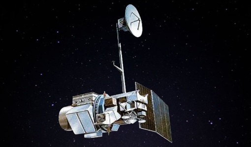
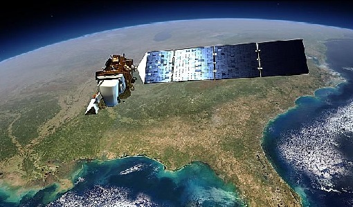
The Landsat Series is the world's longest running system of satellites for moderate-resolution optical remote sensing for land, coastal areas and shallow waters.
Data - EO Sign In Authentication (Open)
Landsat ETM+ ESA archive
This dataset contains all the Landsat-7 Enhanced Thematic Mapper high-quality ortho-rectified L1T products (or L1Gt where not enough GCPs are available) over Kiruna, Maspalomas, Matera and Neustrelitz visibility masks. The Landsat-7 ETM+ scenes typically covers 185 x 170 km. A standard full scene is nominally centred on the intersection between a Path and Row (the actual image centre can vary by up to 100 m). Each band requires 50 MB (uncompressed), and Band 8 requires 200 MB (panchromatic band with resolution of 15 m opposed to 30 m). Kiruna, Maspalomas and Matera Landsat-7 ETM density maps


