- All Categories (106)
- Data (22)
- News (53)
- Missions (5)
- Events (9)
- Tools (2)
- Activities (1)
- Campaigns (9)
- Documents (5)
Event - Conference
3rd ERS Symposium
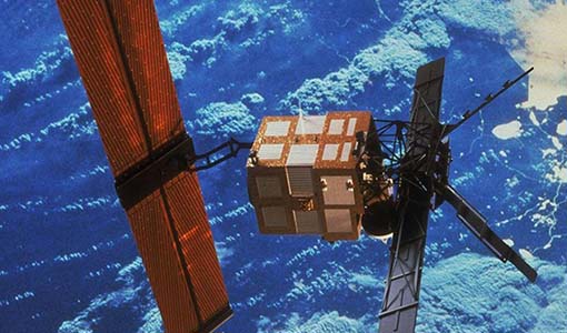
The ESA Directorate for Observation of the Earth and its Environment held the 3rd ERS Symposium, in 1997, where many of the results from the ERS-1 and ERS-2 missions were presented and discussed by the scientific community.
Event - Conference
15 Years of Progress in Radar Altimetry Symposium
A Symposium on "15 Years of Progress in Radar Altimetry" and the annual meeting of the Ocean Surface Topography Science Team, the International Doris Service Workshop and the ARGO Workshop.
Event - Workshop
POLinSAR 2007
The POLinSAR 2007 workshop was open to ESA Principal Investigators and co-investigators, scientists and students working in the field of SAR Polarimetry and Polarimetric Interferometry, and to representatives from national, European and international space agencies and value adding industry.
Event - Workshop
BRIX-I: Workshop of First Biomass Retrieval Algorithm Inter-comparison Exercise
BRIX-I: Workshop of First Biomass Retrieval Algorithm Inter-comparison Exercise
Event - Conference
Living Planet Symposium 2019
ESA's Living Planet Symposia are amongst the biggest Earth observation conferences in the world. Scientists present their latest findings on Earth's environment and climate.
News - Data Release news
ERS-1 Scatterometer L2 dataset processed with ASPS v10.04 is available online
The reprocessed dataset together with corresponding ERS-2 data is now available.
Event - Workshop
Aeolus Cal/Val and Science Workshop
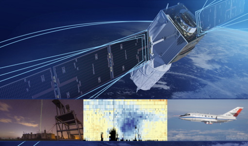
The ESA organised Aeolus Cal/Val virtual workshop was a forum for reporting on the mission status and product evolution, for informing and coordinating mission Cal/Val activities.
Campaign
BioSAR 2007
The BioSAR campaign aimed to support geophysical algorithm development, calibration/validation and the simulation of future spaceborne Earth Observation missions.
Campaign
WindVal I
The objectives of the WindVal 1 campaign in 2015 were derived from results, experience and lessons learnt from the previous airborne campaign in 2009.
Campaign
WindVal II
The objectives for the WindVal II campaign in 2016 were derived from the results, experience and lessons learnt from these last airborne campaigns in 2009 and 2015.
Campaign
WindVal III
The objectives the WindVal III campaign were derived from results, experience and lessons learnt of the last airborne campaigns in 2009, 2015 and 2016.
Campaign
AirScatterGNSS
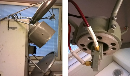
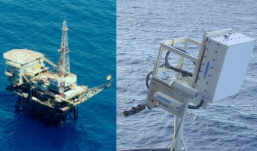
In this project an Airborne Wind Vector Scatterometer (AWVS) system was designed and built for measurements of sea surface backscattering from an aircraft.
Campaign
WISE
The objective of WInd and Salinity Experiment 2001 (WISE 2001) campaign was to get more data points and better wind speed measurements.
Campaign
C-MAPExp
The C‐MAPExp campaign was planned and executed to support the demonstration of CarbonSat capabilities.
Campaign
BioSAR 2010
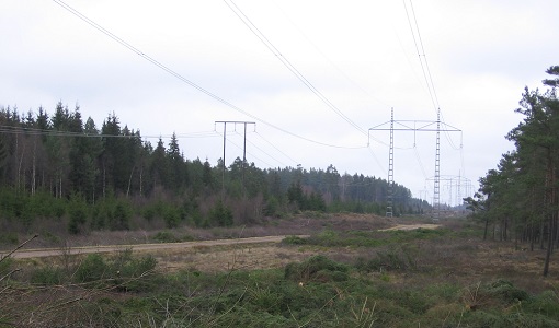
The BioSAR-3 (BioSAR 2010) campaign was specifically planned and implemented to investigate possibilities for a future spaceborne P-band polarimetric and interferometric SAR with a life-time of multiple years.
Campaign
BioSAR 2008
The main objective of BioSAR-2 (BioSAR 2008) campaign was to record SAR data over boreal forests with topographic effects to investigate the effect on biomass retrieval.
Data - Campaigns (Open)
BioSAR 2007
The BioSAR campaign aimed to support geophysical algorithm development, calibration/validation and the simulation of future spaceborne Earth Observation missions.
Data - Campaigns (Open)
BioSAR 2008
The main objective of BioSAR-2 (BioSAR 2008) campaign was to record SAR data over boreal forests with topographic effects to investigate the effect on biomass retrieval.
Data - Campaigns (Open)
WindVal III
The objectives the WindVal III campaign were Early correlative observations between Aeolus and the airborne A2D and 2-µm DWL wind lidar systems
Data - Campaigns (Open)
AfriSAR 2016
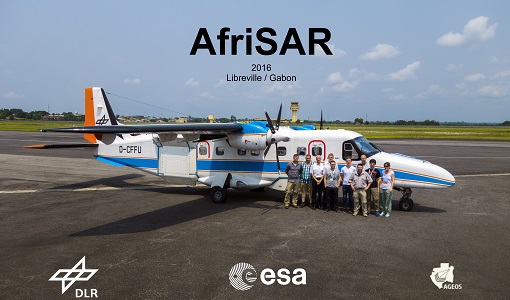
In order to further support the BIOMASS mission development, especially concerning the mission concept verification and the development of geophysical algorithms, ESA funded the AfriSAR campaign.
