- All Categories (197)
- News (7)
- Missions (3)
- Events (5)
- Tools (1)
- Activities (2)
- Documents (179)
Document - General Reference

Earth-Explorers-Satellites-to-understand-our-changing-Earth.pdf
This eight-page brochure provides an overview of the Earth Explorers currently in orbit and those under development.
Event - Workshop

IDEAS+ Cal/Val Workshop 7
Regular workshops are held every nine months with the whole IDEAS+ Task 3-Cal/Val team in order to review the status of current
Activity - Instrument characterisation and algorithm studies

ESA satellites and instruments calibration landing page
Data Outages: Information currently not available online.
News - Thematic area articles

How satellite data help to shape society
Title: Current drought situation in Ebro basin Description: The SMOS soil-moisture-based drought monitor is updated monthly
Mission - Earth Explorers
SMOS product availability
+ NIR + Long LO + FTT LO + Electrical Stability LO + NIR + Long + FTT LO + Short LO + Long + Short Current
Event - Training

EO Summer School 4
Keynote lectures on global change issues are also given to discuss the current state of the science of global change and
News - General News
ESA's excellent Earth Explorer missions extended to 2025
Acting like the spinning conductor in a bicycle dynamo, it generates electrical currents and thus the continuously changing
Document - General Reference
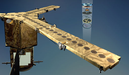
The Nine Candidate Earth Explorer Missions - Magnetometry Mission
This report for assessment addresses the Magnetometry mission when it was selected with other nine Earth Explorer missions as a potential candidate for Phase A study.
Event - Training
EO Summer School 3
In line with observations it shows anti-cyclonically rotating surface currents and cyclonically rotating bottom currents.
Document - General Reference
Candidate-Earth-Explorers-in-Assessment-Phase.pdf
This flyer gives a quick overview on the candidate Earth Explorers missions in assessment phase.
Document - Technical Note

MIRAS-anomalies-2013.pdf
This note briefly describes the anomalies experienced so far by MIRAS in flight, and the impact they may have over data production and possible degradation of the data itself.
Document - General Reference
New-possibilities-for-science-ESAs-operational-Sentinel-missions.pdf
This is an article extracted from the ESA Bulletin Nr. 140.
Tools - Processing
SMOS Toolbox
Visualisation functionalities have been upgraded, the current version of the SMOS Toolbox is able to display SMOS Level 1C
Document - General Reference
Earth-Observation-Market-Development-Benefits-to-Industry.pdf
This article was published in the ESA Bulletin Nr. 125 : it describes the Earth Observation Market Development programme, an activity designed to foster the use of Earth Observation based geo-information services within various market sectors.
Document - General Reference
The-CEOS-Earth-Observation-Handbook-2008.pdf
This report presents the main capabilities of satellite Earth observations, their applications, and a systematic overview of present and planned Committee on Earth Observation Satellites (CEOS) agency Earth observation satellite missions and their instruments. It also explores society's increasing need for information on our planet. This edition has a particular focus on climate change.
Mission - Earth Explorers

SMOS Objectives
SMOS Science The SMOS mission is a direct response to the current lack of global observations of soil moisture and ocean
Document - General Reference
Earth-Observation-from-Space-supporting-Biodiversity-Conservation.pdf
This brochure provides an overview of the ESA-funded Diversity project, which aims to demonstration the contribution Earth observation makes towards monitoring the trends and status of different marine and terrestrial ecosystems relevant to diversity.
Document - General Reference
The Soil Moisture and Ocean Salinity Mission - SMOS
This document outlines the SMOS mission objectives and the derived scientific mission requirements.
Document - General Reference
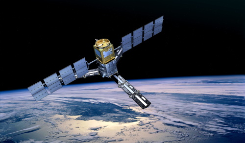
Towards More Efficient Use of Radar-Altimeter Data
Twenty years ago, experimental altimeters on NASA's Skylab and Geos-3 were already demonstrating the potential of such instrumentation. This led in turn to the development and launch by NASA in July 1978 of the Seasat oceanographic satellite mission. Both Geos-3 and Seasat were very successful in their pioneering missions, but were limited somewhat by poor coverage in the case of Geos-3 and an abnormally short mission duration in Seasat's case.