- RapidEye
- Mission
- RapidEye Objectives
RapidEye Objectives
Mission Objectives
Imagery from the RapidEye constellation was aimed at providing geospatial information:
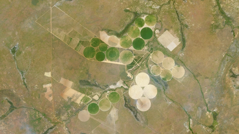
- Agricultural monitoring on a frequent revisit cycle. The information derived from the imagery assisted farmers in precision farming operations, agricultural insurers in damage assessment and risk management, or governments in food security and environmental compliance monitoring.
- Use by governments and commercial operators to assess forest status, evaluate management strategies, measure the environmental and economical sustainability of forest operations and monitor illegal logging and deforestation.
- Fast turnaround of imagery showed current ground conditions following disasters.
- Information for governmental agencies or industries that monitor the environmental impact of human activities.
- Imagery for a variety of purposes including mapping, navigation, flight simulation, gaming and as an integral component in geospecific 3D modelling.
- Monitored pipeline and transmission corridors and identified problems such as vegetation encroachment, nearby buildings, development of roads or leaks.
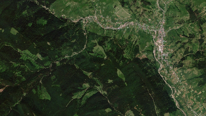
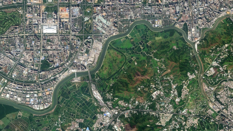
Featured Images
See a collection of images acquired by the RapidEye satellite over a variety of locations, which demonstrate the different modes the mission provides and applications RapidEye supports.
Science
RapidEye's satellites were the first commercial satellites to include the Red-Edge band, which was sensitive to changes in chlorophyll content. Studies showed that this band can assist in monitoring vegetation health, improve species separation and help in measuring protein and nitrogen content in biomass.