Featured
About QuickBird-2
QuickBird-2 was an Earth-imaging satellite of Maxar of the United States which launched in October 2001 and ceased operations in 2015.
It is part of ESA's Third Party Missions Programme, in which ESA has an agreement with European Space Imaging (EUSI) to distribute data products from the mission.
| Orbit Altitude | 450 km |
| Orbit Type | Sun-synchronous, 10:30 am descending node |
| Orbit Period | 93.4 minutes |
| Revisit Time | 2.8 days at 1-metre GSD resolution 1.5 days at 1.5-metre GSD resolution These values are for targets at 20 degrees latitude. |
QuickBird-2 Objectives
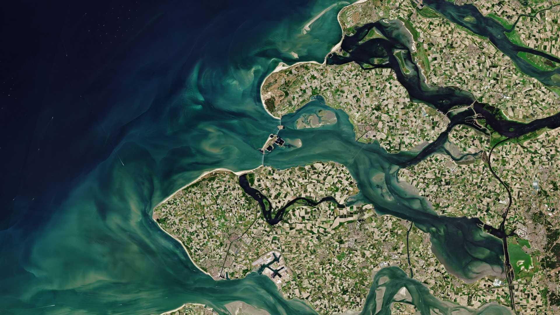
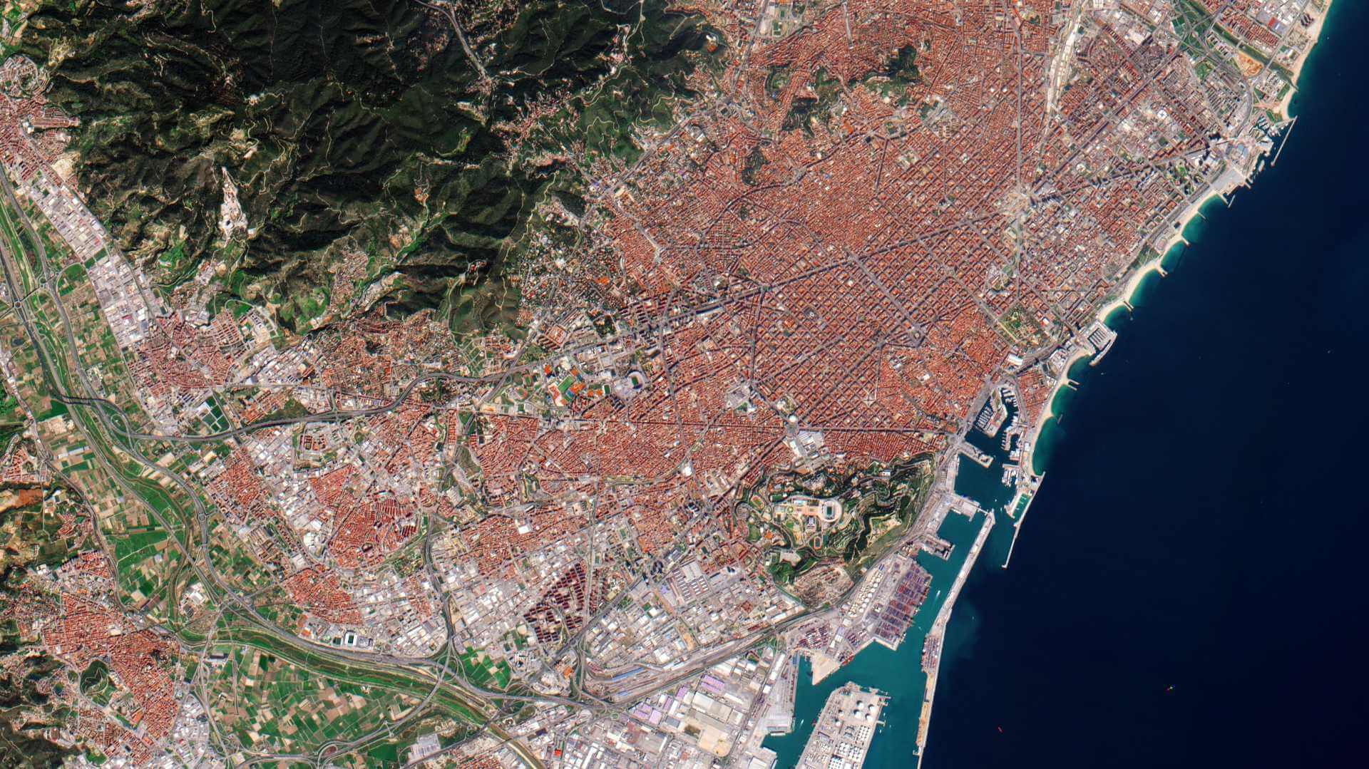
Alongside its high-resolution commercial-focused imagery, QuickBird could be used to analyse changes in land usage, agriculture and forests.
QuickBird-2 Instruments
Ball Global Imagery System 2000 (BGIS2000)
QuickBird used Ball Aerospace's Global Imaging System 2000 (BGIS 2000). The satellite collected panchromatic (black and white) imagery at 61 centimetre resolution and multispectral imagery at 2.44- (at 450 km) to 1.63-metre (at 300 km) resolution, as orbit altitude was lowered during the end of its mission life.
| Parameter | Panchromatic imagery | Multispectral imagery (4 bands) |
| Spectral Range(s) | Panchromatic: 450 - 900 nm | Blue: 450 - 520 nm, Green: 520 - 600 nm, Red: 630 - 690 nm, NIR: 760 - 900 nm |
| Spatial Resolution, IFOV | 0.61-0.72 m (GSD), 1.37 µrad | 2.4-2.6 m (GSD), 5.47 µrad |
| Swath Width, FOV | 16.5 km (450 km altitude), 2.12o | |
| Camera | Pushbroom array (11 bit pixels) | Pushbroom arrays (11 bits x 4) |
| Detector Array | 27,000 pixels | 6,700 pixels x 4 |
| S/C body pointing capability | ±30o (along-track/cross-track) providing a ±544 km wide field of regard (FOV) in the cross-track direction | |
| Pointing Accuracy | 0.5 mrad absolute per axis | |
| Geolocation of data | 15 m (3) after ground processing | |
| Pointing Agility | Maneuver of 10° in 20 s, maneuver of 50o in 45 s | |
| Imaging Modes | Snapshot: 16.5 km x 16.5 km (single scene) Stripmap mode: 16.5 km x 225 km Area (mosaic patterns): 32 km x 32 km (typically) Stereo: 16.5 km x 16.5 km typically; in along-track direction (single pass) | |
| Data Quantization | 11 bits | |
| Data size/ PAN scene | 8 Gbit (uncompressed), 1.5 Gbit (compressed) | |
| Data Volume | 64 - 100 scenes per orbit (128 Gbit of image data storage capacity) | |
QuickBird-2 Data
DATA COLLECTIONS
ESA is offering, for scientific research and application development, access to the full archive of QuickBird-1 data upon submission and acceptance of a project proposal. This collection is available as part of the Maxar Standard Satellite Imagery products.
ESA will support as many high-quality and innovative projects as possible within the quota limit available, therefore only a limited amount of products can be made available to each project.
The following collection is available:
Moreover, ESA offers registered users access through the Online Dissemination server to the following data collection:

