Minimize ERS-2
Web Content Image

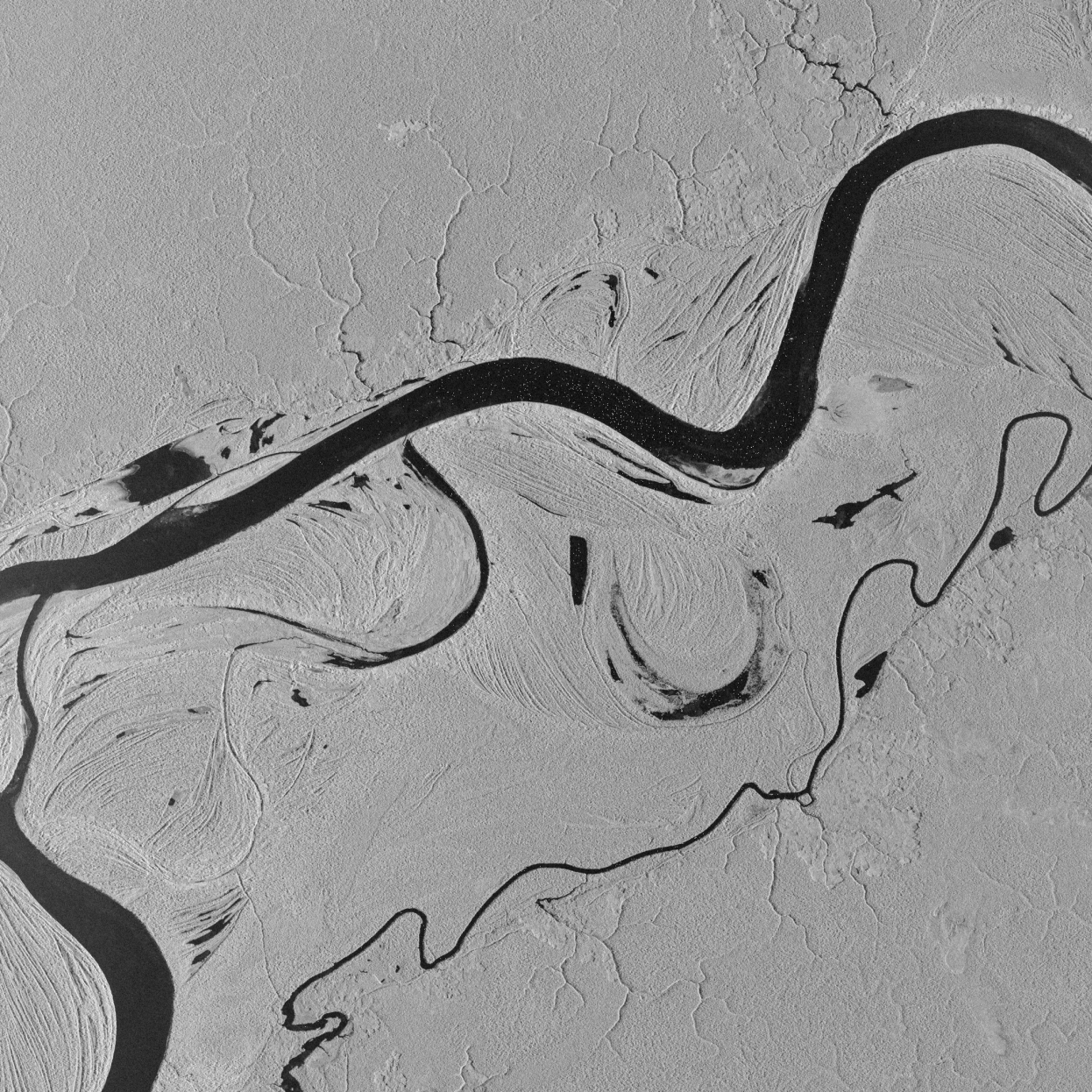
The European Remote Sensing (ERS) mission consisted of a pair of satellites launched in 1991 and 1995 respectively. The satellites outlived their projected lifespans and ERS-1 ended in 2000, followed just over a decade later by ERS-2 in 2011.

The primary instrument on these satellites was the Synthetic Aperture Radar (SAR), which was utilised for multiple applications.

The ERS showcase features a range of images acquired by ERS-1 and 2, along with a series of images from ERS-2 from 2001 to 2005 over many different locations around the world to demonstrate what this mission achieved.

Minimize ERS-2 articles
Results: 62
Web Content Image

Celebrating 20 years of ERS

These images of Rome and its surroundings were acquired by ERS-1 and ERS-2 during their long service around the globe, providing valuable information to the scientific community for 20 years.

Web Content Image

Kiev, Ukraine - 2005

This ERS-2 image was acquired on 5 December 2005 over Kiev in Ukraine.

Web Content Image

ERS-2 - Ten years in orbit (1995-2005)

The ERS-2 satellite was launched on 21 April 1995, as a successor to the ERS-1 satellite. ERS-2 has now been successfully operational for ten years, and the following features highlight some of the applications the mission has been utilised for, as well as some technical details of the satellite.