Hurricane Irene was a powerful tropical cyclone that struck the Bahamas in August 2011, causing widespread damage from flooding, strong winds, and storm surges. The impact extended to the eastern United States, where the storm made landfall at Cape Lookout, with its eye situated over the Pamlico Sound, as visible in the centre of the third image.
- Image 1: Product: MERIS_RR_1P, Satellite: Envisat, Instrument: Medium Resolution Imaging Spectrometre (MERIS), Acquisition Date: 24 Aug 2011, Orbit: 49594, Orbit Direction: Descending, Band Combination: 11, 14, 3 (RGB)
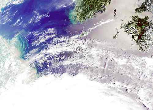
- Image 2: Product: MERIS_RR_1P, Satellite: Envisat, Instrument: Medium Resolution Imaging Spectrometre (MERIS), Acquisition Date: 27 Aug 2011, Orbit: 49637, Orbit Direction: Descending, Band Combination: 11, 14, 3 (RGB)
- Image 3: Product: ASA_WSM_1P, Satellite: Envisat, Instrument: Advanced Synthetic Aperture Radar (ASAR), Acquisition Date: 27 Aug 2011, Orbit: 492637, Orbit Direction: Descending, Band Combination: Grey scale