- All Categories (4843)
- Data (4)
- News (18)
- Missions (17)
- Events (19)
- Tools (2)
- Activities (9)
- Documents (4774)
Document - Product Specifications

wind-scatterometer-processing-requirements-from-sigma-nought-triplets-to-dealiased-wind.pdf
This document defines the ground processing algorithms for the ERS-1 AMI wind mode (Scatterometer) from the sigma nought triplets to the wind speed and direction, including the wind retrieval and the ambiguity removal processing.
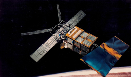
Mission - Heritage Missions

Wind Scatterometer (WS) Quality Control Reports
The data includes instrument working modes, temperatures, currents and voltages of the transmitter and calibration chain,
Mission - Heritage Missions
Wind Scatterometer (WS) Processor Releases
The current processor software version for the operational ground segment is ASPS v 10.04.
Mission - Heritage Missions
Wind Scatterometer (WS) Cal/Val
ERS-2 Scatterometer: Mission Performances and Current Reprocessing Achievements Calibration strategy for ERS scatterometer
Document - General Reference

WATS - Water Vapour and Temperature in the Troposphere and Stratosphere.pdf
This report describes the WATS mission, one of the candidate Earth Explorers in the second cycle in 2001.
Document - Technical Note

WALES - Water Vapour Lidar Experiment in Space
This report describes the WALES mission, one of the candidate Earth Explorers in the second cycle in 2001.
Document - Technical Note
UWA Processing Algorithm Specification
This technical note specifies version 2 of the algorithm to derive SAR wave spectrum products from ERS AMI wave mode data.
Activity - Cal/Val activities

UV nadir viewing galleries
Download chart A new perspective on the current state of the ozone layer derived using the merged total ozone data record
Document - User Guide

User Documentation for (A)ATSR 4th Reprocessing Level 1B Products
This document provides a guide for users of (A)ATSR 4th reprocessing products, giving easily viewed format details, highlighting differences from previous reprocessed products, noting technical features inherent in the products, and giving notification of remaining Open Issues.User Documentation for (A)ATSR 4th Reprocessing Level 1B Products
Document - Publication - Paper

Uniqueness of the ERS Scatterometer for nowcasting and typhoon forecasting
Paper presented to IGARSS-2005: Uniqueness of the ERS Scatterometer for nowcasting and typhoon forecasting
Document - General Reference
Two Years of ERS-1 Data Exploitation
This bulletin reports on the first two years of the ERS-1 satellite.
News - Thematic area articles

Transforming space data into climate action
By combining high-quality data from both current and previous missions, scientists are improving their understanding of the
News - Success Stories
Trailblazing ERS-2 mission enables climate change applications
Varied elevations of Bachu in western China InSAR is currently one of the most accurate methods to generate digital elevation
News - Thematic area articles
Tracking the world’s forests from space
Deforestation in Brazil Scientist’s understanding of the health of the world’s forests is being further improved through current
Document - General Reference
Towards More Efficient Use of Radar-Altimeter Data
Twenty years ago, experimental altimeters on NASA's Skylab and Geos-3 were already demonstrating the potential of such instrumentation. This led in turn to the development and launch by NASA in July 1978 of the Seasat oceanographic satellite mission. Both Geos-3 and Seasat were very successful in their pioneering missions, but were limited somewhat by poor coverage in the case of Geos-3 and an abnormally short mission duration in Seasat's case.
Document - Proceedings

Third ESA International Conference on Spacecraft Guidance, Navigation and Control Systems
The proceedings from the Third ESA International Conference on Spacecraft Guidance, Navigation and Control Systems, which took place at ESTEC in Noordwijk, the Netherlands, from 26 to 29 November 1996, are presented here.