- All Categories (16)
- Data (1)
- News (2)
- Missions (9)
- Events (4)
Data - EO Sign In Authentication (Open)
Envisat ASAR WS Single Look Complex L1 [ASA_WSS_1P]
for INSAR applications based either on wide-swath/wide-swath pairs or wide-swath/image mode pairs, applications of ocean current
News - Success Stories

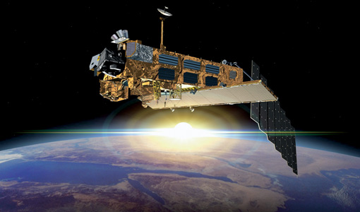
10 years of Envisat data help to illuminate ocean processes
, a surface oceanic current that forms the western boundary current of the southern Indian Ocean [2].
Event - Workshop

SEASAR 2012
Aouf 14:00 - 14:20 Towards consistent inversion of wind, waves and surface current from SAR Bertrand Chapron (IFREMER, France
Mission - Heritage Missions

SAR (ERS) Processor Releases
It should be noted that for SAR, each product ordered is processed directly from the raw data, using the current version
Event - Training

EO Summer School 3
In line with observations it shows anti-cyclonically rotating surface currents and cyclonically rotating bottom currents.
Event - Training
EO Summer School 5
Keynote lectures on global change issues are also given to discuss the current state of the science of global change and
Event - Workshop

SEASAR 2008
of the workshop were: Wave mode processing algorithms, product validation and assimilation Ocean Wind applications Ocean Current
Mission - Heritage Missions

RA (ERS)
the RA provided information on significant wave height; surface wind speed; sea surface elevation, which relates to ocean currents
Mission - Heritage Missions
SAR (ERS)
Processor Releases It should be noted that for SAR, each product ordered is processed directly from the raw data, using the current
News - Success Stories
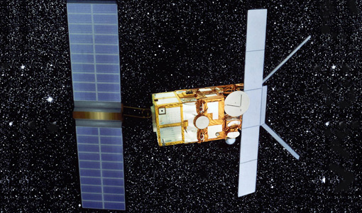
Trailblazing ERS-2 mission enables climate change applications
Varied elevations of Bachu in western China InSAR is currently one of the most accurate methods to generate digital elevation
Mission - Heritage Missions

RA (ERS) Overview
demanding constraints and had the following major objectives: Precise altitude (ocean surface elevation for the study of ocean currents
Mission - Heritage Missions
MERIS Applications
altimeters, have a remarkable sensitivity to the roughness and height of the ocean surface, enabling the detection of ocean currents
Mission - Heritage Missions
SAR (ERS) Interferometry
addition, components of the interferometric signal such as anomalous signal path lengths introduced by atmospheric effects are currently
Mission - Heritage Missions

RA (ERS) Products Information
data showed a clear improvement in terms of accuracy over the tandem periods between ERS-1, ERS-2 and Envisat missions (currently
Mission - Heritage Missions
SAR (ERS) Overview
Scientists are studying the radar backscatter from the ocean surface related to wind and current fronts, to eddies and to
Mission - Heritage Missions
MERIS Overview
Spatial and temporal models of the biosphere are currently being developed to study the mechanics of such complex systems