- All Categories (138)
- Data (2)
- News (12)
- Missions (16)
- Events (15)
- Tools (1)
- Activities (9)
- Documents (83)
Document - Product Document

(A)ATSR 4th Reprocessing Product Format - User Summary.pdf
ATSR Technical Documents
Document - Technical Note

(A)ATSR Expert Support Laboratory FAST Level 1b Product Definition
(A)ATSR Expert Support Laboratory FAST Level 1b Product Definition.pdf
Document - Conference Presentation - Poster

04_OCT2013_ESA-EO_programmes.pdf
ESA EO missions and their exploitation for science and applications ESA
Event - Workshop

2nd Space for Hydrology Workshop
The workshop aimed to assess the current stage of knowledge and activities in space-based hydrological observations and to
News - Success Stories

A stroll through Heritage Missions
In the current digital era, this confirms ESA’s commitment to maintain heritage data and keep information available, in support
Event - Training

Advanced Training Course in Land Remote Sensing 2012
Objectives The objectives of this advanced Dragon training course were: To inform on past, current and future EO satellite
Event - Training
Advanced Training Course in Ocean Remote Sensing 2011
Background and access to current and future Chinese, ESA and TPM satellite missions in ocean remote sensing were presented
Document - Product Document
ANNEX-A-ERS-1-ALT-RAW-Products-CCT-Format-Specification.pdf
Historical Document.This document deals with the product specification of the Altimeter Raw Data Product which provides the user with annotated, uncorrected altimeter measures, sensor parameters and sensor characteristics.
Document - Product Document
ANNEX-B-ERS-1-ALT-FDC-Products-CCT-Format-Specifications.pdf
This document deals with the product specification of the Altimeter Fast Delivery Copy. Valid for data processed up until July '95 when there was a switch from CEOS to CCSDS.
Document - Product Document
Annex-D-ERS-1-ALT-OPR-Product-CCT-Format.pdf
This product aims at providing the users with geophysically corrected altimeter measures over ocean, including all the engineering corrections and all the geophysical corrections due to the troposphere, the ionosphere and the electromagnetic bias. In addition, the surface altitude over the ellipsoid is calculated, correcting for the surface elevation due to tides and geoid.
Document - Product Document
Annex-E-ERS-1-ALT-WDR-Products-CCT-Format-Specifications.pdf
This product consists of the altimeter transcribed raw data with associated immediately available calibrations, corrections, geolocation and characterisation. This product is routinely generated on receipt of altimeter data at UK-PAF.
Document - User Guide

ASAR-OTF-user-manual.pdf
This document describes the (A)SAR On-The-Fly Data Dissemination and Processing Service, which provides access to data from the ERS and Envisat missions.
Mission - Heritage Missions
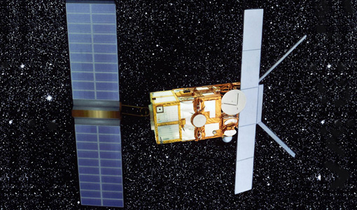
ATSR Overview
Applications KuroShio current captured by ERS The ATSR onboard the ERS missions had several applications spanning the disciplines