- All Categories (19902)
- Data (7)
- News (62)
- Missions (75)
- Events (27)
- Activities (17)
- Documents (19714)
Activity - Projects
Dipolar Spherical Elementary Current Systems (DSECS) toolbox
this project is to create a user-friendly version of a previously developed analysis method for estimating ionospheric currents
Activity - Projects
Average Magnetic field and Polar current System model
The AMPS project outcome is a new climatological model of polar ionospheric currents, based on magnetic field measurements
News - Success Stories

Long-term satellite data show wind farms can affect local air currents
Long-term measurements allow before and after comparison Data from the heritage Envisat satellite currently maintained accessible
News - Operational News

Update on Swarm Field-Aligned Current Dual (FAC_AC) data missing from 7 November 2021
As a follow-up of the news published on 23 November 2021, we want to update Swarm users about the missing Field-Aligned Current
Mission - Heritage Missions
MOS-1/1B
MOS-1 and 1B, Japan’s first marine observation satellites, were designed to monitor ocean currents, sea surface temperature
News - Operational News

SMOS data distribution resumed
SMOS data distribution to end users was resumed on 12 March 2024 after confirmation of the adequate quality of the current
Event - Workshop

2nd Space for Hydrology Workshop
The workshop aimed to assess the current stage of knowledge and activities in space-based hydrological observations and to
Mission - Earth Explorers

Aeolus
This is currently the only technology that can provide direct wind profile observations in clear air, inside thin clouds
Event - Workshop
CEOS SAR Workshop 2004
Satellites (CEOS) Working Group on Calibration and Validation, a SAR Workshop was held for the presentation and discussion of current
Mission - Earth Explorers

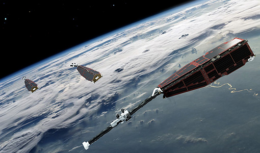
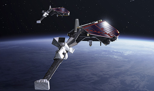
Swarm
its geological interpretation Determination of the 3D electrical conductivity of the mantle Investigatigation of electric currents
Mission - Third Party Missions

ICEYE
Currently, the satellites operate in five modes called 'Strip Mode', 'Spot Mode', 'Scan Mode', 'Spot Extended Area (SLEA)
Mission - Third Party Missions

WorldView Series
Owned by Maxar, the first three satellites in the series are currently operational, and they have been supplying imagery
Data - Fast Registration with approval (Restrained)
ERS-1/2 ATSR Averaged Surface Temperature [AT1/AT2_AR__2P]
sets provide, for sea cells, nadir and dual view sea surface temperatures, and for land cells, land surface temperature (currently
Mission - Third Party Missions
GHGSat
The GHGSat constellation currently consists of 12 satellites: GHGSat-D (GHGSat's technology demonstrator satellite) launched
Mission - Third Party Missions
Vision-1
Stereo Mode: currently under development, provides two co-incident image scenes acquired at opposing pitch angles of ±30°
Data - Fast Registration with immediate access (Open)
ERS-2 GOME Spectral Product L1
user to obtain spectrally and radiometrically calibrated radiances (including the correction for polarisation, leakage current
Mission - Third Party Missions
TanSat
60°, 120°, at 670 nm and 1640 nm The TanSat mission also performs a regular calibration, in four different modes: dark current
Mission - Third Party Missions

PlanetScope
PlanetScope Camera The PlanetScope camera on each Dove cubesat operates currently in eight bands - red edge, red, green,
Data - Project Proposal (Restrained)
GHGSat archive and tasking
GHGSat data produce measures of vertical column densities of greenhouse gas emissions ((currently CH4, but eventually CO2
Data - Project Proposal (Restrained)

Spire live and historical data
The data also provides interesting research opportunities on topics as varied as ocean currents and GNSS-based planetary