- All Categories (177)
- Data (3)
- News (9)
- Missions (6)
- Events (10)
- Tools (5)
- Activities (8)
- Campaigns (2)
- Documents (134)
News - Infographics
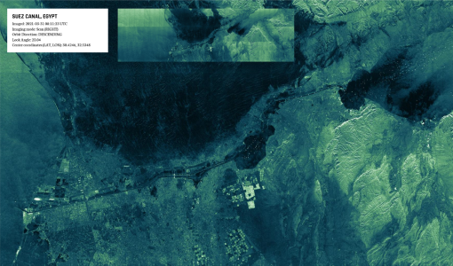
Discover how RADARSAT scans Earth's surface
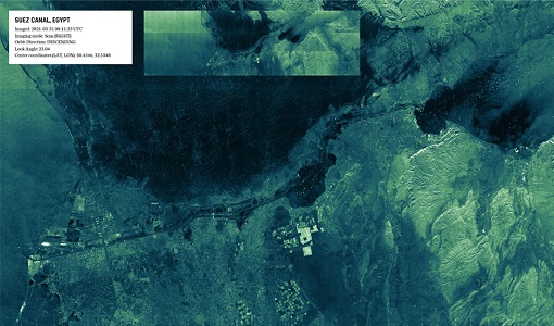
Learn about how RADARSAT scans Earth's surface in our new infographic.
Tools - Catalogues
FedEO
FedEO is a data catalogue that provides a unique entry point to a number of scientific catalogues and services for, but not limited to, European and Canadian missions.
Tools - Catalogues
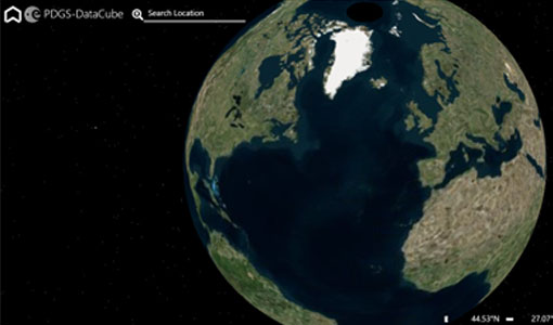
ESA PDGS DataCube
ESA's DataCube is a data catalogue that enables multi-temporal and pixel-based access to a subset of data available from ESA
News - Data Release news
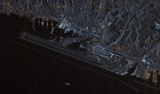
ICEYE ESA archive collection now available to users
ICEYE ESA archive collection is now available worldwide through ESA’s Third Party Missions programme. The ESA archive collections consist of products requested by ESA-supported projects worldwide, and, therefore, the products are scattered and dispersed over the territory in different time windows. The datasets regularly grow as ESA collects new products over the years.
News - Events and Proceedings
Very High Resolution data to take centre stage
In the last few years, European New Space providers have helped strengthen the offering of very high resolution remote sensing data products—a designated workshop this November aims to focus on the latest developments in this arena.
News - Data Release news
TerraSAR-X/TanDEM-X WorldDEM data now available to users
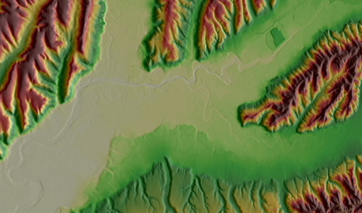
WorldDEM products have been added to the TerraSAR-X/TanDEM-X offering and are now available to users for research and application development following submission of a project proposal subject to evaluation and acceptance by ESA and the data owner.
News - General News
Introducing the newest Third Party Mission: ICEYE
ESA's Earth Observation Programme Board has approved the integration of the ICEYE mission, as a Third Party Mission (TPM) within the framework of the ESA Earthnet programme.
Activity - General activities
GSCB and LTDP
The Copernicus programme is based on a fleet of European Earth observation satellites, built and operated by ESA, member states and commercial entities. Copernicus will also offer data from non-European satellites.
Mission - Copernicus Sentinels
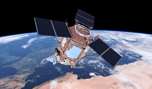
Copernicus Sentinel-1
The Copernicus Sentinel-1 mission comprises a constellation of two polar-orbiting satellites, operating day and night performing C-band synthetic aperture radar imaging, enabling them to acquire imagery regardless of the weather.
Campaign
SARSense 2019
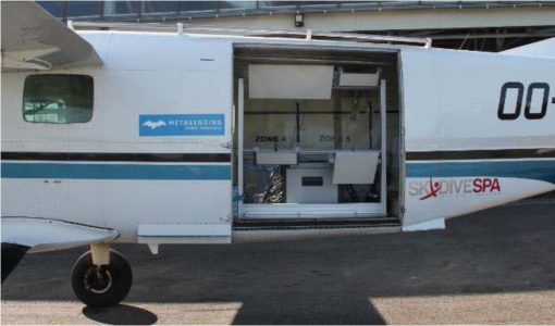
The SARSense campaign in the Jülich area (Germany) in summer 2019 was performed to support the ESA Copernicus high priority mission ROSE-L.
Document - Conference Presentation - Poster
04_SARPractical.txt
SAR processing and analysis tools Dr. Fabrice Collard (Collecte Localisation Satellites, France) SAR processing and analysis tools (Continued) Dr. Fabrice Collard
Document - Conference Presentation - Poster
01_Wednesday_OCT2013_SAR_principles.pdf
SAR instrument principles and processing Prof. Johnny Johannessen (Nansen Environmental and Remote Sensing Center, Norway)
Document - Conference Presentation - Poster
D2T1a-Papathanassiou_LTC2013.pdf
D2T1a SAR Basic Concepts K. Papathanassiou
Document - Conference Presentation - Poster
8_Nicole Dore_pdf.pdf
RADARSAT-2 polarimetric multi incidence angle analysis over Archaeological Site - the UNESCO ancient city of Samarra (Iraq) N. Dore [University of Rennes1 - France]
Document - Conference Presentation - Poster
7_Patruno.pdf
Multi frequency polarimetric SAR sensors analysis - The archaeological UNESCO site of Djebel Barkal (Sudan) J. Patruno [Univerisity of Rennes1 - France]
Document - Conference Presentation - Poster
6_TROUVE_polinsar_2013_hybrid.pdf
Hybrid PolInSAR: High resolution & Polarimetry Applied to Urban N. Trouve [ONERA - France]
Document - Conference Presentation - Poster
5_polinsar_Koeniguer.pdf
PolSARAP: Investigating the Benefits of Polarimetry for Urban Applications using X-Band SAR Images E. Koeniguer [ONERA - France]
Document - Conference Presentation - Poster
4_POLinSAR2013_Ban_KTH.pdf
Multitemporal RADARSAT-2 Fine-Beam Polarimetric SAR for Urban Land Cover Mapping Y. Ban [KTH Royal Institute of Technology - Sweden]
Document - Conference Presentation - Poster
1_Forestry_Dubois_Fernandez_2013.pdf
Assessment of single baseline PolInSAR in tropical context for vegetation characterisation P. Dubois-Fernandez [ONERA - France]
Event - Workshop
POLinSAR 2013
The objectives of the PolInSAR 2013 workshop were to present the latest studies and results of SAR polarimetry and polarimetric interferometry.

