- All Categories (10)
- Data (1)
- News (8)
- Tools (1)
NEWS
Discover the latest news on the European Space Agency's Earth Observation activities. Learn all about new data availability and how ESA's missions are performing.
News - Data Release news
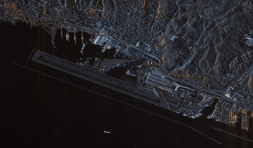
ICEYE Dwell mode now available to users
ICEYE Dwell mode products are now available through ESA’s Third Party Missions programme.
News - Thematic area articles
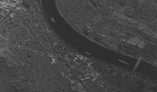
Global understanding of Earth's land surfaces greatly boosted by satellite data
ESA perform land surface monitoring with a range of instruments onboard satellites acquiring optical and radar data. Collections of data from these missions are freely available for research purposes.
News - Events and Proceedings
Very High Resolution data to take centre stage
In the last few years, European New Space providers have helped strengthen the offering of very high resolution remote sensing data products—a designated workshop this November aims to focus on the latest developments in this arena.
News - Data Release news
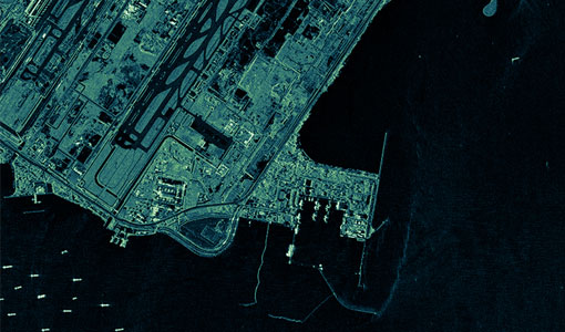
Spot Extended Area mode added to ICEYE on-demand portfolio
As an evolution of Spot mode, Spot Extended Area products are now available with the same resolution of Spot data (ground resolution of 1 m) but enabling to cover the area of 225 km2 (15 x 15 km) in a single SAR image.
News - Events and Proceedings
VHR Data Quality in the limelight
In recent years, the satellite landscape has steadily expanded with a variety of very high resolution (VHR) commercial satellites, also emerging from new space providers. A result of this growth is an increased need to address data quality assurance.
News - Thematic area articles
Satellite data central to ocean monitoring
Over 95% of Earth’s water is found in our oceans, and yet sadly, oceans are under stress from climate change and pollution. Monitoring our oceans is vital for Earth’s survival and satellites are the primary means of long-term and independent observation of our vast ocean bodies and their associated coastal zones.
News - Success Stories
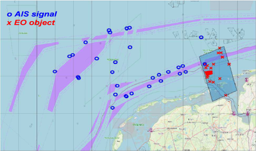
Earth Observation data to improve navigation risk modelling and shipping routes
With the increased frequency of shipping activities, such as tourism and transport of freights, navigation safety has become a major concern. Even if new technologies have already supplied aids to pilots for navigation risk reduction, the International Maritime Organisation (IMO) reports that the majority of accidents could have been avoided by providing suitable input to the navigation decision-making process — this is where Earth Observation data can represent complementary information, to improve traffic monitoring and guidance along safe routes.
News - Data Release news
ICEYE data familiarization phase for the Earthnet TPM programme continues with new ICEYE-X2 data
The ICEYE data familiarization phase freely offers ICEYE imagery over several demonstration sites
