- All Categories (134)
- Data (11)
- News (42)
- Missions (4)
- Events (19)
- Tools (18)
- Activities (3)
- Campaigns (2)
- Documents (35)
NEWS
Discover the latest news on the European Space Agency's Earth Observation activities. Learn all about new data availability and how ESA's missions are performing.
News - Events and Proceedings
Φ-Week Triumphs
In its fourth edition, Φ-Week presented the scientific community with amazing opportunities and projects—thus running alongside innovation at 360 degrees.
News - Success Stories
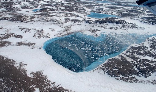
What's happening to Greenland's ice?
Heatwave conditions catapulted Greenland into an early Arctic summer in June, prompting widespread melting across its icesheet surface.
News - Events and Proceedings
VHR Data Quality in the limelight
In recent years, the satellite landscape has steadily expanded with a variety of very high resolution (VHR) commercial satellites, also emerging from new space providers. A result of this growth is an increased need to address data quality assurance.
News - Events and Proceedings
Very High Resolution data to take centre stage
In the last few years, European New Space providers have helped strengthen the offering of very high resolution remote sensing data products—a designated workshop this November aims to focus on the latest developments in this arena.
News - Success Stories
Trailblazing ERS-2 mission enables climate change applications
As ESA’s ERS-2 satellite approaches Earth’s atmosphere for reentry, it’s time to reflect on the mission’s great achievements in powering climate-related applications.
News - Thematic area articles
Tracking the world’s forests from space
As human activities continue to threaten the planet’s forests, data delivered by satellites are boosting global efforts to conserve these crucial natural resources.
News - General News
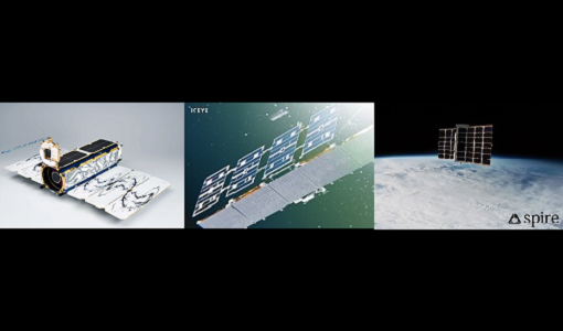
Three new Third Party Missions under evaluation
ICEYE, PlanetScope and Spire under evaluation. Interested users can investigate suitability of the data for scientific and R&D activities.
News - Infographics
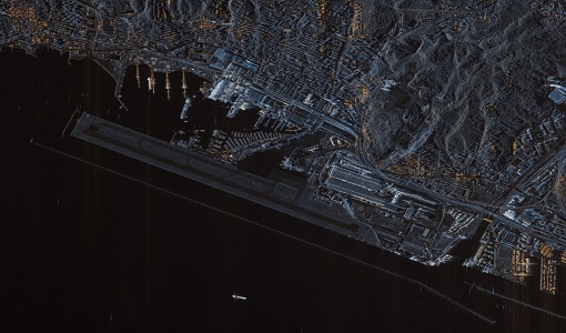
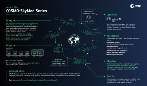
The COSMO-SkyMed series - Two generations of SAR satellites
Learn about the COSMO-SkyMed (Constellation of small Satellites for the Mediterranean basin Observation) series in our latest infographic.
News - Success Stories
Synergy of space data helps modernise irrigation systems
The growing demands on agriculture, coupled with the climate crisis, are pressurising Earth’s valuable freshwater resources and making assessment of water practices ever more important.
News - Success Stories
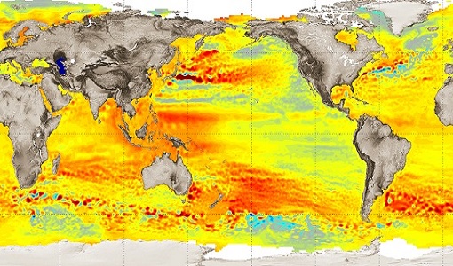
Spotlight on sea-level rise
Scientists to share findings on how satellite has revealed changes in the height of the sea, ice, inland bodies of water and more.
News - Thematic area articles
Space helps monitor Earth’s changing biosphere
Earth’s biosphere is continually changing. Through its pioneering Earth observation missions, ESA is making critical contributions to monitor these changes and their impacts on Earth’s water and carbon cycles.
News - Success Stories
Showcasing success stories from ESA's Third Party Missions
ESA’s Third Party Missions programme consists of more than 50 missions from around the world.
News - General News
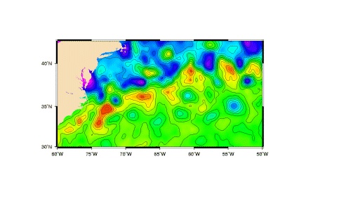
Satellite Radar Altimetry: past and future
Satellite radar altimetry measurements yield a wealth of information that can be used for a wide range of applications.
News - Thematic area articles
Satellite data boost global understanding of land surface
Understanding our changing land surface is essential in the study of climate change. Satellites are used to monitor changes to the material that covers Earth’s surface, so-called land cover, such as vegetation and water.
News - Success Stories
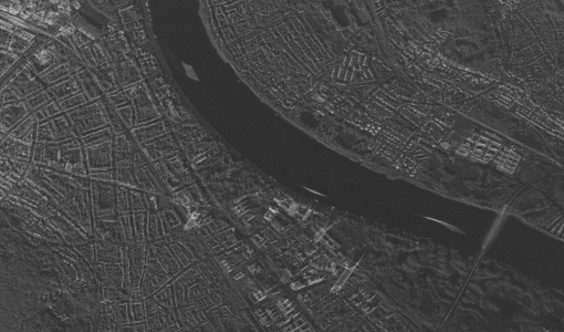
SAR synergy data for maritime surveillance
With the aim of safeguarding our oceans, a recent study uses a synergy of synthetic aperture radar (SAR) images to improve maritime surveillance.
News - Data Release news
Sample data products from ESA’s Third Party Missions
Samples of data products from a range of Third Party Missions are now available to download, offering a preview of what these missions provide.
News - Thematic area articles
Remote sensing data underpin research on soil
Environmental data disseminated by ESA’s Earth observation programmes provide knowledge about the stresses on Earth’s soils – aiding many applications such as crop management, drought and flood forecasting, and ecosystem protection.
News - Thematic area articles
Remote sensing data map impacts of natural hazards
As climate change increases the frequency and severity of natural disasters, remote sensing data can warn about extreme events and help tackle emergency situations.
News - Success Stories
RapidEye constellation retirement
After 11 years in operation, surpassing a design lifetime of 7 years, the RapidEye constellation will be retired in March 2020.
News - General News
PolSARpro v6.0 (Biomass Edition) software new release
Download the latest version of ESA's Polarimetric SAR data Processing and Educational Toolbox (PolSARpro).

