- All Categories (12)
- Missions (1)
- Events (2)
- Tools (3)
- Documents (6)
Tools - Catalogues
FedEO
FedEO is a data catalogue that provides a unique entry point to a number of scientific catalogues and services for, but not limited to, European and Canadian missions.
Tools - Catalogues
EO CAT
EO CAT is a data catalogue, offering a Next Generation Earth Observation system designed to manage end-user Earth Observation services.
Event - Conference
Dragon 3 2014 Symposium
The Dragon 3 2014 Symposium was part of the Dragon 3 Programme, focussed on exploitation of ESA, ESA's Third Party Missions and Chinese Earth observation data for geo-science and applications development in land, ocean and atmospheric applications.
Event - Conference
Dragon 3 2016 Symposium
The Dragon 3 2016 Symposium served as the close of the Dragon 3 Cooperation Programme (2012 to 2016) and formal kick off for Dragon 4 Cooperation projects.
Tools - Analysis
SNAP
SNAP is a common architecture for all Sentinel Toolboxes. It is ideal for Earth observation processing and analysis.
Mission - Heritage Missions
ALOS-1
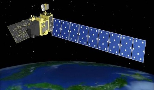
The Advanced Land Observing Satellite (ALOS-1) was a Japanese Earth-imaging satellite from JAXA.
Document - Proceedings
The contribution of the European Space Agency to the ALOS PRISM- AVNIR-2 commissioning phase
This paper was presented at IGARSS 2007 (23-27 July 2007 - Barcelona, Spain). It summarizes the strategy that ESA adopted to define and implement a data verification plan for mission operated by foreign nations, classified as so called ESA Third Party Missions.
Document - Proceedings
Preliminary-Radiometric-Calibration-Assessment-of-ALOS-AVNIR-2.pdf
This paper was presented at IGARSS 2007 (23-27 July 2007 - Barcelona, Spain). It summarizes the activities carried out in the frame of the data quality activities of the Advanced Visible and Near Infrared Radiometer type 2 (AVNIR-2) sensor on board the Advanced Land Observing Satellite (ALOS).


