- All Categories (38)
- Data (7)
- News (11)
- Missions (8)
- Events (3)
- Campaigns (2)
- Documents (7)
Document - General Reference
BIOMASS-Report-for-Mission-Selection-An-Earth-Explorer-to-observe-forest-biomass.pdf
The objective of the BIOMASS Mission is to determine the global distribution of forest biomass by reducing the uncertainty in the calculation of carbon stock and fluxes associated with the terrestrial biosphere.
Document - Conference Presentation - Poster
D3P1b_msavinaud_LTC2013.pdf
D3P1b ORFEO Toolbox M. Sauvinaud
Document - General Reference
The Earth Observation Handbook, 2010 Update - Key Tables
This is the 2010 update of the CEOS Earth Observation Handbook. You can browse the live database at http://database.eohandbook.com/ or download the printable PDF of key tables based on the 2010 database contents for a handy reference.
Document - User Guide
Third Party Missions, Cat-1 Data Availability
This brochure gives a quick overview on the availability of the Third Party Missions IRS-P3, JERS-1, NIMBUS, Proba, Landsat, KOMPSAT-1, SCISAT-1, Terra/Aqua, NOAA, QSCAT, OrbView, SPOT-1,-2,-3,-4, ALOS.
Document - Conference Presentation - Poster
D4P1a_Yesou_LTC2013 (1).pdf
D4P1a (cont.) Floods & Lakes Monitoring H. Yesou
Document - Conference Presentation - Poster
D4P1a_Yesou_LTC2013.pdf
D4P1a Floods & Lakes Monitoring H. Yesou
Mission - Heritage Missions
SPOT 1
SPOT 1 was designed to improve the knowledge and management of Earth's resources, detecting and forecasting phenomena involving climatology and oceanography, and monitoring human activities and natural phenomena.
Mission - Heritage Missions
SPOT 2
SPOT 2, like all the SPOT missions, was aimed at supplying high-resolution, wide-area optical imagery.
Mission - Heritage Missions
SPOT 3
SPOT 3, like all the SPOT missions, was aimed at supplying high-resolution, wide-area optical imagery.
Mission - Heritage Missions
SPOT 4
SPOT 4, like all the SPOT missions, was aimed at supplying high-resolution, wide-area optical imagery.
Mission - Heritage Missions
SPOT 5
SPOT 5, like all the SPOT missions, was aimed at supplying high-resolution, wide-area optical imagery.
Mission - Third Party Missions
SPOT 6
SPOT 6, like all the SPOT missions, is aimed at supplying high-resolution, wide-area optical imagery.
Mission - Heritage Missions
SPOT 7
SPOT 7 (also known as Azersky), like all of the other SPOT missions, was aimed at supplying high-resolution, wide-area optical imagery.
Event - Conference
IGARSS 2019
World-class scientists, engineers and educators in geoscience and remote sensing gathered in Yokohama, Japan, for the 39th annual IGARSS symposium.
Mission - Heritage Missions
SPOT
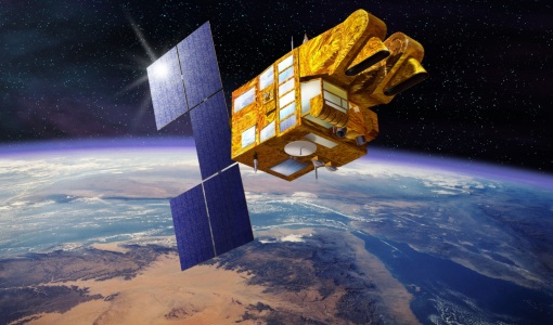
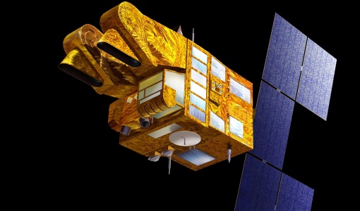
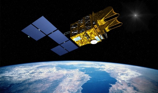
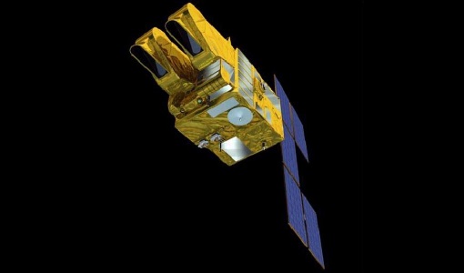
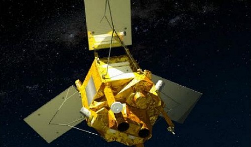
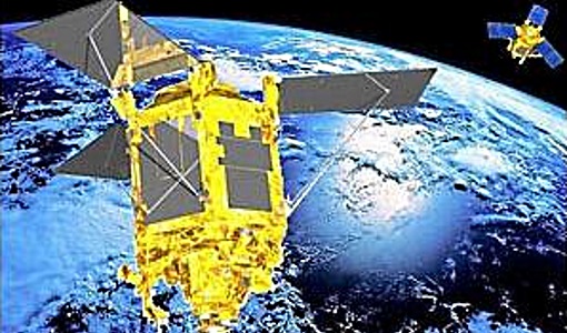
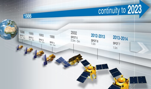
The SPOT (from French "Satellite pour l'Observation de la Terre") series of missions has been supplying high-resolution, wide-area optical imagery since 1986.
Campaign
SEN2EXP
In the SEN2EXP campaign, the data gap for broad leaf forests is addressed as suitable reference datasets of sufficient quality do not exist.
Campaign
BACCHUS-DOC
The BACCHUS-DOC Radar and Optical Campaign was an area mapping project of vineyards near Frascati (Italy). ESA required high resolution geo-referenced airborne SAR data of different wavelength and polarisation (preferably polarimetric).
Data - Campaigns (Open)
SEN2EXP
In the SEN2EXP campaign, the data gap for broad leaf forests is addressed as suitable reference datasets of sufficient quality do not exist.
Data - Campaigns (Open)
BACCHUS-DOC
The BACCHUS-DOC Radar and Optical Campaign was an area mapping project of vineyards near Frascati (Italy). ESA required high resolution geo-referenced airborne SAR data of different wavelength and polarisation (preferably polarimetric).
Data - Fast Registration with approval (Restrained)
Image 2006 European coverage
The Image 2006 collection is a SPOT-4, SPOT-5 and ResourceSat-1 (also known as IRS-P6) cloud free coverage over 38 European countries in 2006 (from February 2005 to November 2007). The Level 1 data provided in this collection originate from the SPOT-4 HRVIR instrument (with 20 m spatial resolution), from SPOT-5 HRG (with 10 m spatial resolution resampled to 20 m) and IRS-P6 LISS III (with 23 m spatial resolution), each with four spectral bands. The swath is of about 60 km for the SPOT satellites and 140 km for the IRS-P6 satellite. In addition to the Level 1, the collection provides the same data geometrically corrected towards a European Map Projection with 25 m resolution. Spatial coverage: Check the spatial coverage of the collection on a map available on the Third Party Missions Dissemination Service.
