- All Categories (960)
- Data (2)
- News (3)
- Missions (2)
- Tools (1)
- Activities (1)
- Documents (951)
Data - Announcement of Opportunity (Restrained)
Announcement of Opportunity for S3VT (Sentinel-3 Validation Team)
In the framework of a Copernicus collaborative agreement ESA and EUMETSAT invite interested groups and individuals to support the Sentinel-3 Validation Team (S3VT).
Activity - Projects
Dragon 2 Cooperation Programme
The Dragon 2 Programme focussed on the exploitation of ESA, ESA's Third Party Missions and Chinese Earth observation data for science and applications development in land, ocean and atmospheric applications.
News - Data Release news
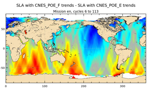
Release of new Envisat DORIS Precise Orbit data
A new version of the Envisat Precise Orbit products has been generated by the Centre de Traitement Doris Poseidon (CTDP) using the Geophysical Data Records F standards (GDR-F). The new dataset (DOR_VOR_AX vF) is now available to users in Envisat format from the ESA dissemination service.
Tools - Apps
Heritage Missions app for Android
Download the Heritage Missions application to discover what the missions were about, how it worked and what the elements of the space and ground segment that make these missions unique.
Mission - Copernicus Sentinels
Copernicus Sentinel-3
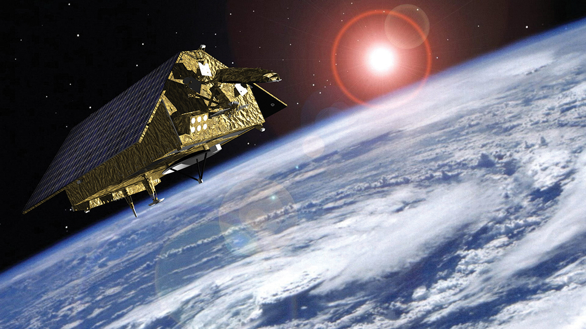
Copernicus Sentinel-3 is an European Earth Observation satellite mission developed to support Copernicus ocean, land, atmospheric, emergency, security and cryospheric applications.
Document - Product Specifications
Envisat products specifications - Volume 9 - DORIS products specifications
Data - Announcement of Opportunity (Restrained)
Announcement of Opportunity for S6VT (Sentinel-6 Validation Team)
In the framework of a Copernicus collaborative agreement between ESA and EUMETSAT a call is open to relevant and interested groups and individuals worldwide to join the S6VT.
Mission - Heritage Missions
Envisat
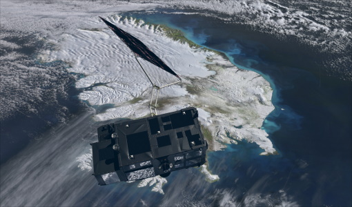
Envisat was ESA's successor to ERS. Envisat carried ten instruments aboard for a wide range of Earth observing fields. The mission was operational from 2002 to 2012.
News - Data Release news
Updated Precise Orbit data (POD) for the full ERS-1 and ERS-2 mission available
The Precise Orbit files (ERS.ORB.POD) for the entire ERS-1 and ERS-2 mission periods have been reprocessed with up-to-date standards.
News - Success Stories
Spotlight on sea-level rise
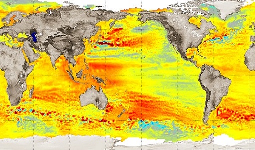
Scientists to share findings on how satellite has revealed changes in the height of the sea, ice, inland bodies of water and more.
Document - Product Document
ERS-Ground-Stations-Products-Specification.pdf
This document defines all outgoing products generated by the ERS-1 and ERS-2 Ground Stations at: Kiruna, Fucino, Maspalomas, Gatineau and Prince Albert. Products are defined in terms of their structure, content and format. Distribution media are defined in terms of their type and format.
Document - General Reference
BIOMASS-Report-for-Mission-Selection-An-Earth-Explorer-to-observe-forest-biomass.pdf
The objective of the BIOMASS Mission is to determine the global distribution of forest biomass by reducing the uncertainty in the calculation of carbon stock and fluxes associated with the terrestrial biosphere.
Document - General Reference
TIGER Initiative - Looking After Water in Africa
This brochure presents images from the second TIGER Workshop, held in Pretoria from 08 to 10 November 2004. The images show locations in Africa acquired by Meteosat-8, Envisat's ASAR and MERIS instruments and Proba-1's HRC instrument.
Document - General Reference
Envisat-The-Future.pdf
This brochure provides an overview of the Envisat mission.
Document - General Reference
ERS-Radar-data-for-operational-land-cover-mapping-AfriCover-Study.pdf
This report illustrates the results obtained during the ESA-ESRIN/FAO Pilot Study conducted within the Remote Sensing Exploitation Department of ESA/ESRIN by Gianna Calabresi and Juerg Lichtenegger, with contributions from Jarkko Koskinen, presently with the Helsinki University of Technology, Finland.
Document - General Reference
Farewell-to-ERS2.pdf
This is an article extracted from the ESA Bulletin Nr.148.
Document - General Reference
Healing-the-Earth-Earth-Observation-Supporting-International-Environmental Conventions.pdf
This article is extracted from ESA Bulletin Nr. 128.
Document - General Reference
Happy-Birthday-ERS-1991-2001.pdf
This brochure celebrates the tenth anniversary of the ERS mission. ERS-1 was launched in 1991 and was joined by ERS-2 in 1995.
Document - General Reference
Looking-after-Water-in-Africa-ESAs-TIGER-Initiative.pdf
This article was published in the ESA Bulletin Nr. 117 anddescribes the TIGER initiative, a direct follow up of ESA'sengagement in the 2002 Johannesburg World Summit on SustainableDevelopment: the project is aimed to offer to developing countriestechnology to monitor from space the water resources.
Document - General Reference
Mapping-Forest-Fire-Damage-with-Envisat.pdf
This article was published in the ESA Bulletin Nr. 120 and describes how remote sensing from space (and ESA's ENVISAT environment satellite, launched in March 2002, in particular) is suitable for forest-fire-related studies.


