- All Categories (20302)
- Data (20)
- News (43)
- Missions (11)
- Events (25)
- Tools (11)
- Activities (10)
- Campaigns (3)
- Documents (20179)
News - General News
ESA's improved Earth system data records: what is in store for the future?
Fundamental Data Records (FDRs) are instrumental in advancing our understanding of Earth systems and for addressing societal challenges effectively. These long-term records contain uncertainty-quantified, calibrated and geo-located multi-instrument/multi-platform satellite sensor data spanning several decades to support climate-related applications.
News - How to guides
HEDAVI Discover: a step-by-step guide
The Heritage Data Visualisation tool (HEDAVI) is a platform developed by the French Science Consulting for Earth Observation group, VisioTerra, which allows users to freely access over 40 years of ESA Earth Observation Heritage data, Third Party Missions and some Copernicus data.
Document - Newsletter
Earth Online Newsletter - 23 February 2024
This issue of the Earth Online Newsletter covers a selection of the latest news and events from ESA.
News - Events and Proceedings
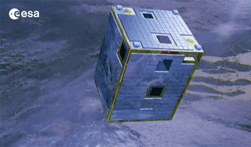
Celebrating ESA’s first small satellite with science success
Scientists and data users gathered at a special workshop to celebrate the end of PROBA-1’s CHRIS sensor and discuss the results of this overachieving mission.
News - Success Stories
Trailblazing ERS-2 mission enables climate change applications
As ESA’s ERS-2 satellite approaches Earth’s atmosphere for reentry, it’s time to reflect on the mission’s great achievements in powering climate-related applications.
News - Operational News
Change of access to FTP-S for ERS and Envisat atmospheric and low-rate data
As of 13 December 2023, access to a series of ERS and Envisat atmospheric and low rate data collections changed from simple FTP to FTP-S.
News - Events and Proceedings
Workshop celebrates end of long-running PROBA-1 satellite
In January, ESA will mark the end of its long-running CHRIS sensor onboard the PROBA-1 satellite in a special workshop.
Event - Workshop
PROBA-1 CHRIS End of Mission Workshop
The PROBA-1 CHRIS End of Mission Workshop will take place from 18-19 January 2024 in Ghent, Belgium.
News - Thematic area articles
Cloud-free collections key for land monitoring
Satellite imagery is a crucially important tool for monitoring the land, but cloud cover can often block parts of Earth’s surface from view, limiting subsequent analyses.
News - Success Stories
Commercial and international data for fire monitoring
As climate change sparks a surge in the frequency and intensity of wildfires, satellite data disseminated through ESA’s Third Party Missions (TPM) programme are helping scientists to track and investigate these potentially damaging natural events.
News - Success Stories
Global remote sensing of greenhouse gases ramps up
With growing pressure to reduce the amount of greenhouse gases released into the atmosphere, recent research studies using the carbon dioxide monitoring TanSat mission are timely.
News - Success Stories
New cross-calibration readies PROBA-1 data for climate research
While PROBA-1 has already exceeded expectations by suppling over 21 years of Earth observation hyperspectral data, recent cross-calibration activities are aiming to ensure the data will robustly serve long time-series research, even when the satellite ends operations.
News - Operational News
GOSAT – TANSO-FTS observations unavailability
Due to an inclination control manoeuvre of the JAXA GOSAT-1 satellite, the TANSO-FTS sensor observations have been suspended.
News - Infographics
Key facts about Canada's ozone-studying SCISAT mission
Learn about the SCISAT mission in our new infographic.
News - Data Release news
TanSat AGCS and CAPI products now available for users
In the framework of Earthnet’s Third Party Missions Programme, ESA is opening a new TanSat collection to users, freely accessible and available worldwide upon submission of a fast registration.
Data - Fast Registration with immediate access (Open)
TanSat AGCS and CAPI products
The Atmospheric Carbon-dioxide Grating Spectrometer (ACGS) instrument is pushbroom spectrometer operating in NIR and SWIR bands which allows the measuring of CO2 mole fraction. The available ACGS products have a temporal coverage between March 2017 and January 2020 (not all days included in the time frame): L1A DS: Sample Dark Calibration sample product L1A GL: Sample Glint Sample products L1A LS: Sample Lamp Calibration sample product L1A ND: Principal-Plane Nadir Sample product L1A ZS: Sample Z-Axis Solar Calibration Sample L1B CAL DS: Sample Dark Calibration product L1B CAL LS: Sample Lamp Calibration product L1B CAL ZS: Sample Z-Axis Solar Calibration product L1B SCI GL: Sample Glint Science product L1B SCI ND: Principal-Plane Nadir Science product. The Cloud Aerosol Polarization Imager (CAPI) is a pushbroom radiometer in VIS, NIR and SWIR bands for the observation of aerosols and clouds optical properties. The CAPI products are available in a time range from July 2019 and January 2020 (not all days included in the time frame): L1A ND: Principal-Plane Nadir product L1B ND 1000M: Principal-Plane Nadir products at 1000 m resolution (1375 nm, 1640 nm) L1B ND 250M: Principal-Plane Nadir products at 250 m resolution (380 nm, 670 nm, 870 nm) L1B ND GEOQK: Principal-Plane Nadir georeferenced at 250 m resolution L1B ND GEO1K: Principal-Plane Nadir georeferenced at 1000 m resolution L1B ND OBC: Principal-Plane Nadir on-board calibrator product L2 ND CLM: Principal-Plane Nadir cloud flag product.
Mission - Third Party Missions
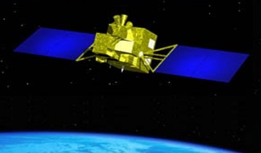
TanSat
The TanSat mission is one of the Earth Observation projects managed by the Ministry of Science and Technology of China and is dedicated to detecting and monitoring carbon dioxide in the atmosphere.
News - Operational News
PROBA-1 - End of CHRIS acquisitions
The CHRIS instrument onboard PROBA-1 successfully ended its operational phase in December 2022 and will no longer acquire images.
Data - EO Sign In Authentication (Open)
Landsat 5 TM European and Mediterranean Countries Cloud Free Collection
This dataset contains the cloud-free products from Landsat 5 Thematic Mapper collection acquired over Europe, North Africa and the Middle East; for each scene only one product is selected, with the minimal cloud coverage. The acquired Landsat TM scene covers approximately 183 x 172.8 km. A standard full scene is nominally centred on the intersection between a path and row (the actual image centre can vary by up to 100 m). The data are system corrected.
Document - Data Access Information
ESA-archive-third-party-mission-collections.pdf
Discover the ESA archive data collections offered for the Third Party Missions programme.


