- All Categories (8)
- News (1)
- Events (2)
- Tools (3)
- Activities (1)
- Documents (1)
Activity - General activities
GSCB and LTDP
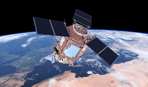
The Copernicus programme is based on a fleet of European Earth observation satellites, built and operated by ESA, member states and commercial entities. Copernicus will also offer data from non-European satellites.
Tools - Other
Hydrology TEP
The Hydrology Thematic Exploitation Platform (TEP) enables access, processing, uploading, visualisation, manipulation and comparison of hydrological data.
Tools - Other
Geohazards TEP
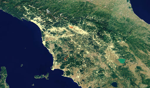
The Geohazards Thematic Exploitation Platform (TEP) aims to provide Earth observation data for supporting geohazards applications.
Event - Training
Advanced Ocean Synergy Training Course
This ESA course was devoted to training the next generation of Earth Observation scientists to exploit data from ESA and Third Party Mission instruments for ocean science and application development.
Tools - Other
Broadview Radar Altimetry Toolbox
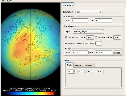
BRAT is an extensive tutorial on what is altimetry, techniques used and examples of usage of data; plus software to read, process and visualise altimetry data.
News - Success Stories
Spotlight on sea-level rise
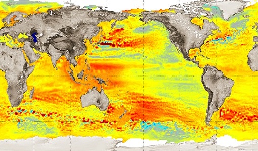
Scientists to share findings on how satellite has revealed changes in the height of the sea, ice, inland bodies of water and more.
Event - Training
Advanced Training Course in Land Remote Sensing 2012
The 2012 advanced training course focused on land remote sensing theory and applications.
Document - Proceedings
EO-Summer-School-4-The-Earth-Observation-Programme-at-ESA.pdf
This presentation from ESA's EO Summer School 4 describes 2008 the Earth Observation Programme at ESA


