- All Categories (115)
- Data (7)
- News (11)
- Missions (1)
- Events (4)
- Tools (5)
- Documents (87)
Event - Workshop

1st International GOCE User Workshop
The workshop provided a forum for presentations and discussions on the development, use and exploitation of GOCE Level 2 (global and regional) geoid products and Level 3 (science and application) data products.
Event - Workshop

2nd International GOCE User Workshop
This workshop provided a forum for presenting progress on the development of the GOCE mission's payload, ground segment and data products.
Document - Proceedings

2nd-International-GOCE-User-Workshop.pdf
This document describes the proceedings of the 2nd International GOCE User workshop held at the ESA-ESRIN Site, Frascati, Italy, 8-10 March 2004.
Document - Proceedings
3rd International GOCE User Workshop
Proceedings of the Third International GOCE User Workshop held from 6-9- November 2006 in Frascati, Italy
Event - Workshop
3rd International GOCE User Workshop
This workshop focussed on the oceanographic applications, such as absolute dynamic topography, of GOCE data in conjunction with other space-borne data, such as radar altimetry, and in-situ data and models.
Document - Proceedings
4th-International-GOCE-User-Workshop.pdf
Proceedings of the 4th International GOCE User Workshop held on 31 March - 1 April 2011 at the Technische Universitat Munich, Germany
Document - General Reference

A-Jewel-in-ESAs-Crown-GOCE-and-its-Gravity-Measurement-Systems.pdf
This article is extracted from ESA Bulletin Nr. 133
Document - Proceedings
Abstracts-of-2nd-International-GOCE-User-Workshop.pdf
This volume collects the abstracts of the papers presented at the GOCE User Workshop, held on 8-10 March 2004 at ESA ESRIN, Frascati Italy.
Document - Software Verification Plan/Report

An-assessment-of-ERS-SAR-Low-Resolution-Imagery.pdf
The objective of this technical note is to describe and to analyse the various concepts associated with the ERS SAR low resolution imagery. This study is done in order to evaluate a range of products, to consider the trade-offs involved in product specification and to propose some recommendations fro low resolution imagery of quality suitable for a broad range of potential applications.
Document - Software Verification Plan/Report
An-investigation-of-the-error-characteristics-of-the-GOCE-geoid-models.pdf
This report presents an initial investigation into the error characteristics of the GOCE gravity field models as they are realised in the calculated geoid anomalies.
News - Events and Proceedings

Data preservation takes centre stage at Living Planet Symposium
Against the backdrop of the famed Rhine River, world-class scientists and Earth observation data-users are gathered this week in the historical city of Bonn, at the Living Planet Symposium (LPS).
Document - General Reference
Earth-Explorers.pdf
This flyer gives a quick overview of the 6 Earth Explorers missions.
News - Success Stories

ESA's Earth Explorers surpassing expectations
In this video, learn how each Earth Explorer mission is contributing to Earth science, and changing the way we look at our beloved planet.
Document - General Reference
ESAs-Schwerkraft-Mission-GOCE.pdf
This brochure, in German language, gives an introduction to the Gravity Field and Steady-State Ocean Circulation Mission GOCE, an Earth Explorer Core mission due for launch in 2006. GOCE is intended to provide the unique data set required to formulate global and regional models of the Earth's gravity field and the geoid (its reference equipotential surface) to high spatial resolution and accuracy.
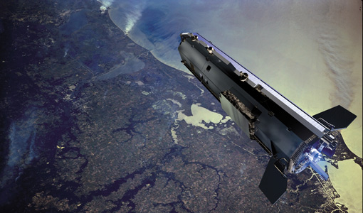
Mission - Earth Explorers

GOCE
ESA's Gravity field and Ocean Circulation Explorer (GOCE) mission mapped Earth's geoid very accurately, opening a window into Earth's interior structure as well as the currents circulating within the depths of its oceans.
Document - Product Cal/Val Plan/Report

GOCE Calibration & Validation Plan for L1b Data Products
The purpose of this document is to provide a framework for theactivities planned in connection with the calibration andvalidation of Level 1b data products from the GOCE mission. Itcontains information on the overall context for GOCE-relatedcalibration and validation, together with a summary of each of theplanned activities, including information about their goals,methodology and their outputs, as well as a list of participants.The objective of documenting each specific effort is to identifyeach expected contribution to either calibration or validation ofLevel 1b products, in order to fully appreciate what areas arecovered by existing plans, and whether further attention to detailmay be required.
News - Data Release news

GOCE EGG L1b reprocessed data published
The GOCE Gravity Gradiometer L1b data have been reprocessed and published on the GOCE Online Dissemination Service.
News - Operational News
GOCE EGG L1b reprocessing algorithm description available
The description of the algorithms used for the reprocessing of the GOCE EGG L1b data is now published and available for download.