- All Categories (43)
- Data (7)
- News (9)
- Missions (1)
- Events (18)
- Tools (4)
- Activities (2)
- Documents (2)
News - Thematic area articles
Tracking the world’s forests from space
As human activities continue to threaten the planet’s forests, data delivered by satellites are boosting global efforts to conserve these crucial natural resources.
News - Thematic area articles
Satellite data boost global understanding of land surface
Understanding our changing land surface is essential in the study of climate change. Satellites are used to monitor changes to the material that covers Earth’s surface, so-called land cover, such as vegetation and water.
News - Thematic area articles
Remote sensing data map impacts of natural hazards
As climate change increases the frequency and severity of natural disasters, remote sensing data can warn about extreme events and help tackle emergency situations.
Event - Conference
Living Planet Symposium 2022
Learn about the 2022 edition of ESA's Living Planet Symposium.
Event - Conference
Living Planet Symposium 2019
ESA's Living Planet Symposia are amongst the biggest Earth observation conferences in the world. Scientists present their latest findings on Earth's environment and climate.
News - Spotlight on EO community
Introducing Mirko Albani
In this short introduction, ESA's Heritage Missions Programme Manager describes what he likes most about ESA's long term archive of satellite mission data and his role in the programme.
Event - Conference
IGARSS 2019
World-class scientists, engineers and educators in geoscience and remote sensing gathered in Yokohama, Japan, for the 39th annual IGARSS symposium.
News - Thematic area articles
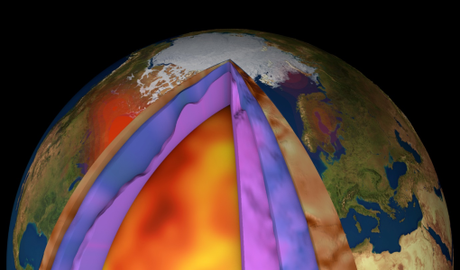
How ESA uses space data to explore deep Earth
As anthropogenic activities continue to unbalance our environment, scientists strive to fully understand the intricate interactions within Earth’s system.
Tools - Apps
Heritage Missions app for iOS
Download the Heritage Missions application to discover what the missions were about, how it worked and what the elements of the space and ground segment that make these missions unique.
Tools - Apps
Heritage Missions app for Android
Download the Heritage Missions application to discover what the missions were about, how it worked and what the elements of the space and ground segment that make these missions unique.
Tools - Analysis
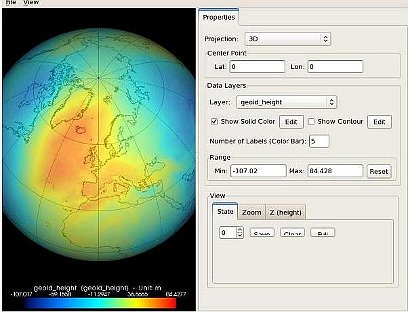
GOCE User Toolbox
The GOCE User Toolbox is a compilation of tools for the utilisation and analysis of products from ESA's GOCE gravity mission.
News - Thematic area articles
Global understanding of Earth's land surfaces greatly boosted by satellite data
ESA perform land surface monitoring with a range of instruments onboard satellites acquiring optical and radar data. Collections of data from these missions are freely available for research purposes.
Document - Proceedings
Fringe-2011-workshop-session-summaries.pdf
This document contains the session summaries from the session summaries of the Fringe 2011 workshop.
Document - Proceedings
Fringe-2011-workshop-recommendations.pdf
This document contains the recommendations from the session summaries of the Fringe 2011 Workshop.
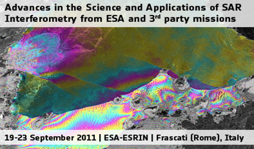
Event - Workshop
Fringe 2011 Workshop
Fringe 2011 was the 8th International Workshop on "Advances in the Science and Applications of SAR Interferometry".
Event - Workshop
Fringe 2007 Workshop
Fringe 2007 was the third International Workshop on Envisat ASAR interferometry and fifth International Workshop on ERS SAR Interferometry.
Event - Workshop
Fringe 2005 Workshop
Fringe 2005 was the second International Workshop on Envisat ASAR interferometry and fourth International Workshop on ERS SAR Interferometry.
Event - Workshop
Fringe 2003 Workshop
The third ESA International Workshop on ERS SAR Interferometry and its first Workshop on ASAR interferometry: Advances in SAR interferometry from ERS and Envisat missions.
Event - Workshop
Fringe 1996 Workshop
The workshop on ERS SAR Interferometry was open to scientists and students working in the field of Synthetic Aperture Radar (SAR) interferometry and its applications.
Tools - Other
Forestry TEP
The Forestry Thematic Exploitation Platform (TEP) enables users in the forestry sector to access satellite data based processing services and tools for generating value-added forest information products.


