- All Categories (4521)
- Data (9)
- News (26)
- Missions (5)
- Events (20)
- Tools (7)
- Activities (9)
- Documents (4445)
Activity - Cal/Val activities
UV nadir viewing galleries
Atmospheric chemistry nadir observation from space now spans nearly forty years. The early UVN (UV nadir missions) mainly focused on measuring ozone.
News - Thematic area articles
Transforming space data into climate action
ESA’s Earth observation activities are playing a key role in the revitalised global drive to combat climate change.
News - Success Stories
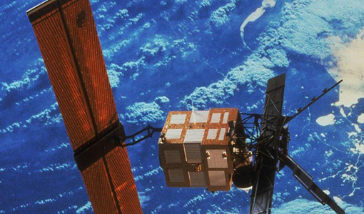
Trailblazing ERS-2 mission enables climate change applications
As ESA’s ERS-2 satellite approaches Earth’s atmosphere for reentry, it’s time to reflect on the mission’s great achievements in powering climate-related applications.
Activity - Projects
TOLEOS
The TOLEOS (Thermosphere Observations from Low-Earth Orbiting Satellites) project will produce thermosphere mass density observations from the accelerometer measurements of the GRACE, GRACE-FO, and CHAMP satellites.
Document - User Guide
Third Party Missions, Cat-1 Data Availability
This brochure gives a quick overview on the availability of the Third Party Missions IRS-P3, JERS-1, NIMBUS, Proba, Landsat, KOMPSAT-1, SCISAT-1, Terra/Aqua, NOAA, QSCAT, OrbView, SPOT-1,-2,-3,-4, ALOS.
Document - Technical Note
The GOME Thermal Environment
Long Term Monitoring Of The GOME Thermal Environment
Document - General Reference
The Global Ozone Monitoring Experiment (GOME)
This document reports on what can be expected from the improved GOME-2 instrument. In order to underpin the case, the achievements of the existing instrument, GOME-1, in terms of instrument performance, routinely generated data products, and scientific results achieved so far are first summarised, before extrapolating to the expected performances and capabilities of the enhanced version GOME-2 being built for METOP.
Document - General Reference
The Earth from ALOS - New Perspectives from Space including 3D
This brochure gives an example of the ALOS spectacular scenes, 3D pictures and general info on the satellite applications.
Document - Proceedings
The contribution of the European Space Agency to the ALOS PRISM- AVNIR-2 commissioning phase
This paper was presented at IGARSS 2007 (23-27 July 2007 - Barcelona, Spain). It summarizes the strategy that ESA adopted to define and implement a data verification plan for mission operated by foreign nations, classified as so called ESA Third Party Missions.
Tools - Other
Swarm-Aurora
Swarm-Aurora, a web-based tool, was designed to facilitate and drive the use of Swarm in-situ measurements in auroral science.
News - Announcement of Opportunity updates
Swarm DISC Deadline Extension
Swarm DISC Invitation to Tender deadline extension for SD-ITT-4.4: Swarm for Space Weather
Mission - Earth Explorers
Swarm
Swarm is dedicated to creating a highly detailed survey of Earth’s geomagnetic field and its temporal evolution as well as the electric field in the atmosphere using a constellation of three identical satellites.
News - Data Release news
Static Maps for ALOS African coverage available for users
ALOS Africa is a dataset of the best available (cloud minimal, below 10%) African coverage acquired by AVNIR-2 in OBS mode and PRISM in OB1 mode (all Backward, Nadir and Forward views, in separated products), two different collections one for each instrument.
Tools - Analysis
SNAP
SNAP is a common architecture for all Sentinel Toolboxes. It is ideal for Earth observation processing and analysis.
Tools - Analysis
Sentinel-3 Toolbox
The Toolbox consists of a set of visualisation, analysis and processing tools for the exploitation of OLCI and SLSTR data.
Document - Proceedings
Second-EPS-MetOp-RAO-Workshop.pdf
Proceedings of the 2nd EPS/MetOp RAO Workshop held from 20-22 May 2009 in Barcelona, Spain.


