- All Categories (389)
- Data (6)
- News (21)
- Missions (9)
- Events (14)
- Tools (3)
- Activities (6)
- Documents (330)
Document - General Reference
Spill-Science-and-Technology-Bulletin-Special-issue-on-ERS-oil-pollution-monitoring.pdf
This special issue of the Spill Science and Technology Bulletin provides a feature on the ERS SAR contribution to oil pollution monitoring in the Mediterranean.
Document - General Reference
Taking-the-Measure-of-Earth-Fifteen-Years-of-Progress-in-Radar-Altimetry.pdf
This article is extracted from ESA Bulletin Nr. 128.
Document - Proceedings
PolInSAR-2009-Proceedings-of-the-4th-International-Workshop-on-Science-and-Applications-of-SAR-Polarimetry-and-Polarimetric-Interferometry.pdf
Proceedings of PolInSAR 2009 held in Frascati, Italy from 26-30 January 2009.
Document - Proceedings
Fringe-2011-workshop-session-summaries.pdf
This document contains the session summaries from the session summaries of the Fringe 2011 workshop.
Document - General Reference
From-ERS-1-to-ERS-2-Destination-Earth.pdf
This booklet presents a small fraction of ERS-1 results. The "ERS System" is also described in five background briefing notes.
Document - General Reference
Earth-Watching-Anthology.pdf
This brochure gives an overview of the Earth Watching project, which aims not only to show natural disasters, but also to promote various satellite remote sensing applications through images and articles for newspapers, magazines and TV stations.
Document - General Reference
Hydrological-Processes-An-International-Journal-Special-issue-on-Remote-Sensing.pdf
This special issue of Hydrological Processes contains a selection of the most significant reports presented at the Flood Monitoring Workshop held at the ESA/ESRIN premises in Frascati, Italy on 26-27 June 1995. It is intended to provide the reader with an overall assessment of the capability of remote sensing to contribute to flood risk management, including the advantages and limitations, as well as critical areas, for further improvement.
Document - General Reference
Healing-the-Earth-Earth-Observation-Supporting-International-Environmental Conventions.pdf
This article is extracted from ESA Bulletin Nr. 128.
Document - General Reference
Remote-Sensing-and-Humanitarian-Aid-A-life-saving-combination.pdf
This article was published in the ESA Bulletin Nr. 122 and describes how Earth Observation activities may answer to the requirements of humanitarian and aid workers.
Event - Conference
3rd ERS Symposium
The ESA Directorate for Observation of the Earth and its Environment held the 3rd ERS Symposium, in 1997, where many of the results from the ERS-1 and ERS-2 missions were presented and discussed by the scientific community.
Event - Workshop
2nd Space for Hydrology Workshop
The workshop aimed to assess the current stage of knowledge and activities in space-based hydrological observations and to exchange knowledge and know how with hydrologists and researchers.
Event - Training
3rd Advanced Training Course on Land Remote Sensing 2011
This 2011 advanced ESA training course focused on land remote sensing theory and applications.
Mission - Heritage Missions
SPOT 1
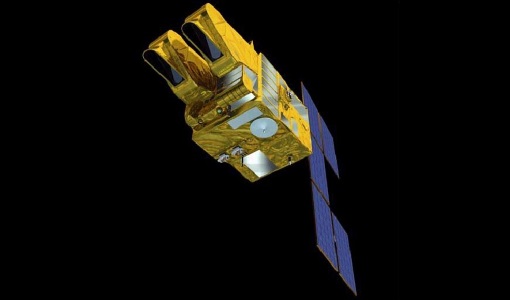
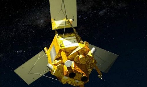
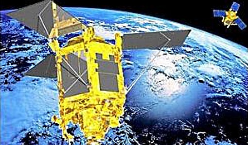
SPOT 1 was designed to improve the knowledge and management of Earth's resources, detecting and forecasting phenomena involving climatology and oceanography, and monitoring human activities and natural phenomena.
Mission - Heritage Missions
SPOT 2
SPOT 2, like all the SPOT missions, was aimed at supplying high-resolution, wide-area optical imagery.
Mission - Heritage Missions
SPOT 3
SPOT 3, like all the SPOT missions, was aimed at supplying high-resolution, wide-area optical imagery.
Mission - Heritage Missions
SPOT 4
SPOT 4, like all the SPOT missions, was aimed at supplying high-resolution, wide-area optical imagery.
Mission - Heritage Missions
SPOT 5
SPOT 5, like all the SPOT missions, was aimed at supplying high-resolution, wide-area optical imagery.
Mission - Third Party Missions
SPOT 6
SPOT 6, like all the SPOT missions, is aimed at supplying high-resolution, wide-area optical imagery.
Mission - Heritage Missions
SPOT 7
SPOT 7 (also known as Azersky), like all of the other SPOT missions, was aimed at supplying high-resolution, wide-area optical imagery.
News - Operational News
Envisat-ERS (A)SAR - Enhanced Dissemination Service
ESA is pleased to announce the release of several new features as part of the ESA On-The-Fly data processing and dissemination service.
