- All Categories (78)
- Data (9)
- News (24)
- Missions (2)
- Events (14)
- Tools (8)
- Activities (2)
- Campaigns (11)
- Documents (8)
DATA
Discover and download the Earth observation data you need from the broad catalogue of missions the European Space Agency operate and support.
Data - External Data (Restrained)
Aura OMI complete NASA dataset
The OMI observations provide the following capabilities and features: A mapping of ozone columns at 13 km x 24 km and profiles at 13 km x 48 km A measurement of key air quality components: NO2, SO2, BrO, HCHO, and aerosol The ability to distinguish between aerosol types, such as smoke, dust and sulfates The ability to measure aerosol absorption capacity in terms of aerosol absorption optical depth or single scattering albedo A measurement of cloud pressure and coverage A mapping of the global distribution and trends in UV-B radiation. The OMI data are available in the following four levels: Level 0, Level 1B, Level 2, and Level 3. Level 0 products are raw sensor counts. Level 0 data are packaged into two-hour "chunks" of observations in the life of the spacecraft (and the OMI aboard it) irrespective of orbital boundaries. They contain orbital swath data. Level 1B processing takes Level 0 data and calibrates, geo-locates and packages the data into orbits. They contain orbital swath data. Level 2 products contain orbital swath data. Level 3 products contain global data that are composited over time (daily or monthly) or over space for small equal angle (latitude longitude) grids covering the whole globe.
Data - Campaigns (Open)
BioSAR 2010
The BioSAR-3 (BioSAR 2010) campaign was specifically planned and implemented to investigate possibilities for a future spaceborne P-band polarimetric and interferometric SAR with a life-time of multiple years.
Data - Campaigns (Open)
AfriScat
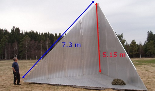
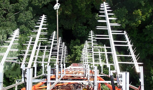
AfriScat campaign, a follow on to TropiSCAT campaign, was to acquire long-term P-Band radar data in an African tropical forest.
Data - Campaigns (Open)
AfriSAR 2016
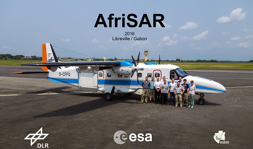
In order to further support the BIOMASS mission development, especially concerning the mission concept verification and the development of geophysical algorithms, ESA funded the AfriSAR campaign.
Data - Campaigns (Open)
BioSAR 2008
The main objective of BioSAR-2 (BioSAR 2008) campaign was to record SAR data over boreal forests with topographic effects to investigate the effect on biomass retrieval.
Data - Campaigns (Open)
BioSAR 2007
The BioSAR campaign aimed to support geophysical algorithm development, calibration/validation and the simulation of future spaceborne Earth Observation missions.
Data - Campaigns (Open)
IceSAR 2007
The objectives of IceSAR 2007 campaign was to acquire SAR images and complementary data over sea and land ice for preparation of Sentinel-1 mission and for providing a basis for the assessment of potential applications of Biomass mission.
Data - Campaigns (Open)
IceSAR 2012
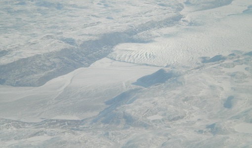
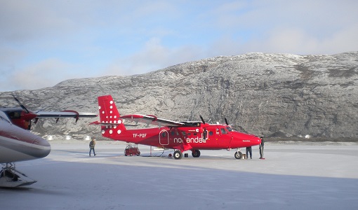
In the frame of IceSAR 2012, airborne SAR campaigns were carried out in Greenland in support of the Biomass candidate Earth Explorer mission.
Data - Campaigns (Open)
INDREX-2
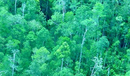
ESA and Indonesian Ministry of Forest Study was a 2004 follow-up campaign to the INDREX project which was to generate a digital elevation model over a non-accessible region in order to model environmental changes.
