- All Categories (330)
- Data (1)
- News (23)
- Missions (13)
- Events (11)
- Tools (4)
- Activities (5)
- Documents (273)
Document - Conference Presentation - Poster

Global-Surface-Geostrophic-Currents-From-Satellite-Altimetry-and-GOCE
Global Surface Geostrophic Currents from Satellite Altimetry and GOCE J.M. Sánchez-Reales, I. Vigo, S.G. Sin & B.F. Chao
Mission - Earth Explorers

GOCE
Explorer (GOCE) mission mapped Earth's geoid very accurately, opening a window into Earth's interior structure as well as the currents
News - Success Stories

Long-term satellite data show wind farms can affect local air currents
Long-term measurements allow before and after comparison Data from the heritage Envisat satellite currently maintained accessible
Document - General Reference

Earth-Explorers-Satellites-to-understand-our-changing-Earth.pdf
This eight-page brochure provides an overview of the Earth Explorers currently in orbit and those under development.
News - General News
Go-to guide to Third Party Mission data offering
Data Access Guide has been published, providing technical details and information on available data collections for all current
Document - Proceedings

First-International-GOCE-Workshop-GOCE-Germany-Oceanography.pdf
describes using data from the GOCE satellite mission in order to determine structure and transport of the Antarctic Circumpolar Current
Event - Meeting

VH-RODA and CEOS SAR workshop
The workshop provided an open forum for the presentation and discussion of current status and future developments related
Document - Software Verification Plan/Report

GUT2-WP6000-Final-Report.pdf
combined to models of the marine geoid to estimate the ocean Mean Dynamic Topography, and, by geostrophy, the ocean mean currents
Activity - Quality

EDAP
The following missions are currently being considered as part of the Automatic Identification System (AIS) and Radio Frequency
Tools - Analysis

GOCE User Toolbox
Data output formats The current data formats that GUT can provide in output are: netCDF (Climate and Forecast Metadata Convention
Event - Workshop

GOCE - 4th International User Workshop 2011 sessions
On the Current Status of the Cooperative Research Project Real Data Analysis GOCE (REAL GOCE) W.-D. Schuh & B.
Event - Workshop

SEASAR 2012
Aouf 14:00 - 14:20 Towards consistent inversion of wind, waves and surface current from SAR Bertrand Chapron (IFREMER, France
Event - Workshop
VH-RODA 2021 Workshop
the Workshop will provide an open forum (new space, commercial and institutional) for the presentation and discussion of current
Document - Conference Presentation - Poster
7-Highres-Surface-Velocity-Monitoring-Wide-Swath-SAR.pdf
High resolution Surface Velocity Monitoring with Wide Swath SAR: A User´s Guide to the Range Doppler Method Johnny Johannessen (NERSC, Norway)
Document - Conference Presentation - Poster
Estimating-North-Atlantic-Mean-Dynamic-Topography-R-J-Bingham.pdf
GOCE - 4th International User Workshop 2011 sessions presentation
Document - Proceedings
First-International-GOCE-Workshop-Geoid-Scales-from-Altimetry-and-In-Situ-Observations.pdf
This presentation from ESA's First International GOCE Workshop describes a method that can be used to derive independent Geoid estimates from a combination of altimetry and in situ data.
Document - Software Verification Plan/Report
GUT2-WP4000-Final-Report.pdf
The objective of this workpackage is to carry out an independent validation of the various preliminary geoid models computed by ESA HPF (High Processing Facility) from the GOCE (Gravity field and steadystate Ocean Circulation Explorer) mission in order to assess their quality for oceanographic applications.
Mission - Heritage Missions
PALSAR
A small percentage of ALOS-1 PALSAR products processed by the current installed ESA IPF are affected by a known quality issue
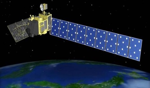
Mission - Heritage Missions

PALSAR Processor Releases
The current ALOS-1 PALSAR IPF integrated within the ESA On-The-Fly system is v4.16p9, installed on 24 January 2017.
Document - Proceedings
First-International-GOCE-Workshop-GOCE-Netherlands-Oceanography.pdf
This presentation from ESA's First International GOCE Workshop describes the dynamics and operation of the thermohaline circulation, the global scale transport of heat and salt (and other water characteristics) by the oceans.