- News
- PAZ - Spain's radar success
PAZ - Spain's radar success
17 Feb 2022
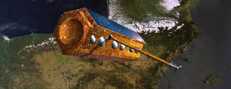
One way of collecting images in unfavourable weather is to use Synthetic Aperture Radar (SAR). PAZ is one such Earth observation mission capable of delivering all-weather imagery thanks to its X-band SAR. Earth observation images from PAZ can be acquired day or night since the microwave radiation on which they are based are unaffected by darkness, clouds or precipitation.
PAZ (Spanish for “peace”) is part of ESA’s Third Party Missions (TPM) programme, built primarily to serve the Spanish Government’s defence and security needs. The satellite also provides Earth observation capabilities for multiple civilian applications, from maritime monitoring and infrastructure planning, to high-resolution mapping.
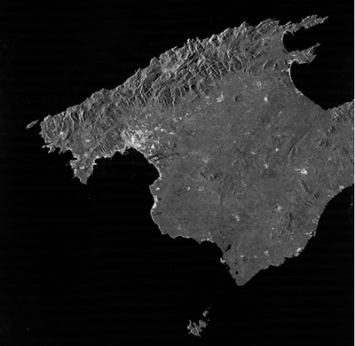
This wide range of application areas is achieved with a high-resolution side-looking X-band SAR using active phased array antenna technology. Unlike optical systems, SAR instruments work independently of light or heat. So, regardless of weather, the PAZ satellite is capable of delivering imagery with ground resolution up to 25 cm at a rate of around 100 images per day.
The satellite weighs in at almost 1,400 kilogrammes and is known for its agility—moreover, its agility combined with its slightly quasi-polar orbit, and a repeat cycle of up to 11 days, result in an impressive Earth coverage.
Airbus Defence and Space, together with a consortium of 18 Spanish companies and universities were behind PAZ, which was launched in February 2018. It is owned and operated by the Spanish government satellite services, Hisdesat, while Spain’s National Institute for Aerospace Technology (INTA) is the developer and owner of the Ground Control segment.
One application area is the monitoring of illegal activity on maritime routes. PAZ is particularly suited to maritime surveillance since it can correlate SAR imagery simultaneously with data from its on-board Automatic Identification System (AIS). Combining ship AIS signals with SAR imagery can greatly increase maritime monitoring capacity globally. Using satellite imagery in this way to identify illegal vessels, results in more efficient usage of sea patrolling resources, such as airplanes and boats.
PAZ data products have also been used extensively in civil engineering. PAZ imagery is useful to monitor the construction progress of remote bridges, dams and railways. They can also be used to track the impact of underground urban building or monitor ground deformation caused by oil and gas infrastructures.
High-resolution radar data provide up-to-date information on terrain changes, which are useful in disaster response. Given radar is non-weather dependent, all types of disasters can be tracked. PAZ imagery is used to improve response to flooding, earthquakes, and human-made disasters to name a few. By contrasting images of affected territory before or after a disaster, scientists can determine its impact on infrastructure and the environment. This service benefits many civilian sectors, such as insurance companies and civil protection institutions.
PAZ may have had its origin in Spanish defence and security needs, but the civilian applications of Spain’s radar mission are widespread. ESA offer access to archive and new tasking data from the PAZ mission for users in scientific research and application development.
Two new imaging modes, Wide ScanSAR and Staring Spotlight, have recently been added to the PAZ data offering. Find out more about the PAZ data products ESA offer: PAZ Full Archive and New Tasking