- News & Events
- Data preservation takes centre stage at Living Planet Symposium
- ERS imagery for 20 years
ERS imagery for 20 years
26 May 2022
Title: ERS imagery for 20 years
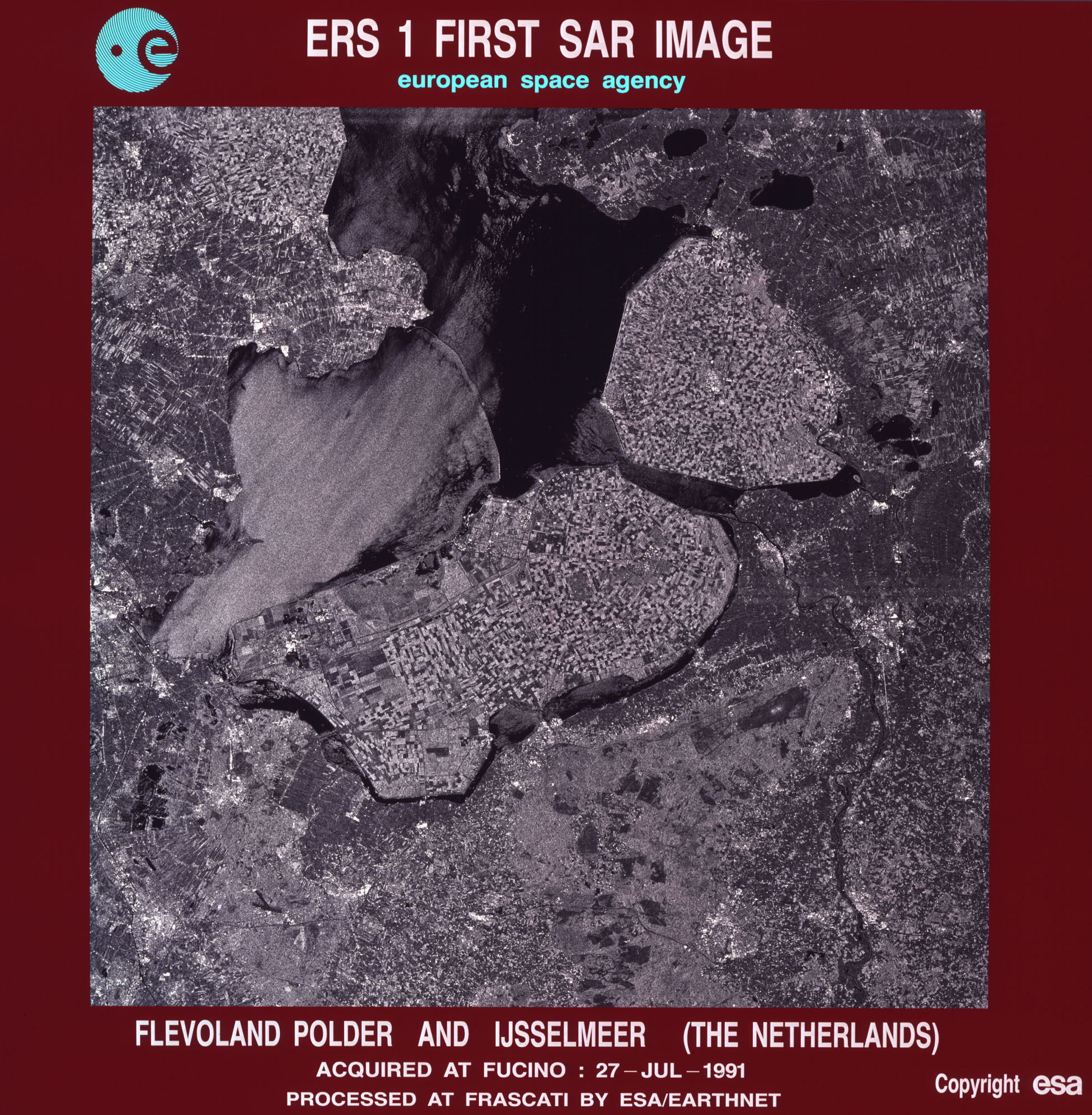
Description: The very first image acquired by ERS-1 on 27 July 1991 shows the Flevoland polder and the Ijsselmeer in the Netherlands. ERS-1 was ESA’s first sun-synchronous polar-orbiting mission. The satellite carried an imaging synthetic aperture radar, a radar altimeter and other instruments to measure ocean-surface temperature and winds over the sea surface. ERS-1 was joined by ERS-2 in orbit to provide uninterrupted observations of Earth. For 20 years, the ERS missions made substantial contributions to advance science, technology and applications for Earth observation.
Copyright: ESA