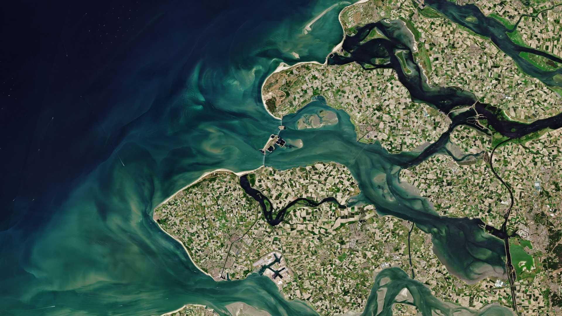
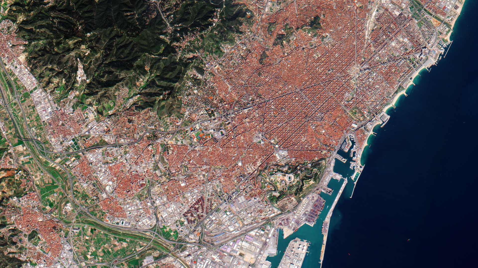
Featured
About WorldView-1
WorldView-1 is an environment-monitoring satellite from Maxar of the United States which launched on 18 September 2007 and remains operational.
It became the world's first 50 cm resolution commercial imaging satellite.
| Orbit Altitude | 496 km |
| Orbit Type | Sun-synchronous |
| Orbit Period | 94.6 minutes |
| Orbit Inclination | 97.2° |
| Repeat Cycle | 14 days |
| Equator Crossing Time | 10:30 am descending node |
| Revisit Time | 1.7 days at 1-metre GSD resolution |
WorldView-1 Objectives
WorldView-1 freed capacity on Maxar's QuickBird satellite to meet the growing commercial demand for multi-spectral geospatial imagery.
WorldView-1 Instruments
WorldView-60 camera (WV60)
This is a panchromatic-only instrument which produces black and white imagery.
| Instrument Optics | - Use of QuickBird optical bench design - Telescope of 60 cm aperture |
| Spectral Range (panchromatic imagery only) | 0.45 - 0.90 µm |
| Spatial Resolution (GSD) | - 50 cm panchromatic at nadir - 55 cm out to 20º off-nadir |
| Swath Width | 17.6 km at nadir |
| Revisit Frequency | - 1.7 days at 1 m GSD or less - 5.9 days at 20º off-nadir or less (0.51 m GSD) |
| Detectors | - Silicon CCD array (8 µm pixel size) with a row of > 35,000 detectors - The array includes 64 stages of TDI (35,000 columns and 64 rows) |
| TDI (Time Delay Integration) | 6 selectable levels from 8 to 64 |
| Data Quantization | 11 bit |
| Geolocation accuracy of imagery after processing | - 5.8 to 7.6 m without GPCs - 2 m with GPCs |
| Instrument Mass, Power | 380 kg, 250 W |
WorldView-1 Data
DATA COLLECTIONS
These collections are available as part of the Maxar Standard Satellite Imagery products and are distributed by European Space Imaging (EUSI).
ESA will support as many high-quality and innovative projects as possible within the quota limit available, therefore only a limited amount of products can be made available to each project.
Moreover, ESA offers to registered users access through the Online Dissemination server to the following data collection:

