Featured
Mission Overview

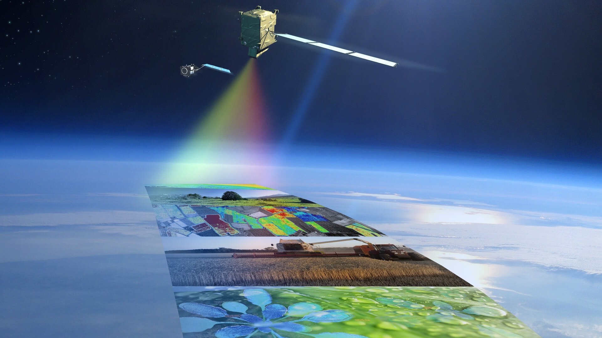
The FLuorescence EXplorer (FLEX) mission will provide global maps of vegetation fluorescence that can reflect photosynthetic activity and plant health and stress. In turn, this is not only important for a better understanding of the global carbon cycle, but also for agricultural management and food security. This is of particular relevance due to demand the growing world population is placing on the production of food.
Currently it is not possible to measure photosynthetic activity from space, but FLEX's novel instrument will be capable of achieving this. The mission was selected as the eighth Earth Explorer in ESA's Living Planet Programme in 2015.
FLEX will fly in tandem with the Copernicus Sentinel-3 mission, in particular working in combination with the OLCI and SLSTR instruments Sentinel-3 carries.
FLEX is expected to be launched in 2025, with a three and a half year design lifetime.
Mission Objectives
The FLEX mission will map vegetation fluorescence to quantify photosynthetic activity. By quantifying vegetation fluorescence, the photochemical reflectance index, the surface temperature, the FLEX mission concept will provide the most innovative and unique set of measurements to increase our understanding of actual photosynthetic efficiency, and the status of vegetation health and plant performance, while addressing related societal challenges previously identified.
Instruments
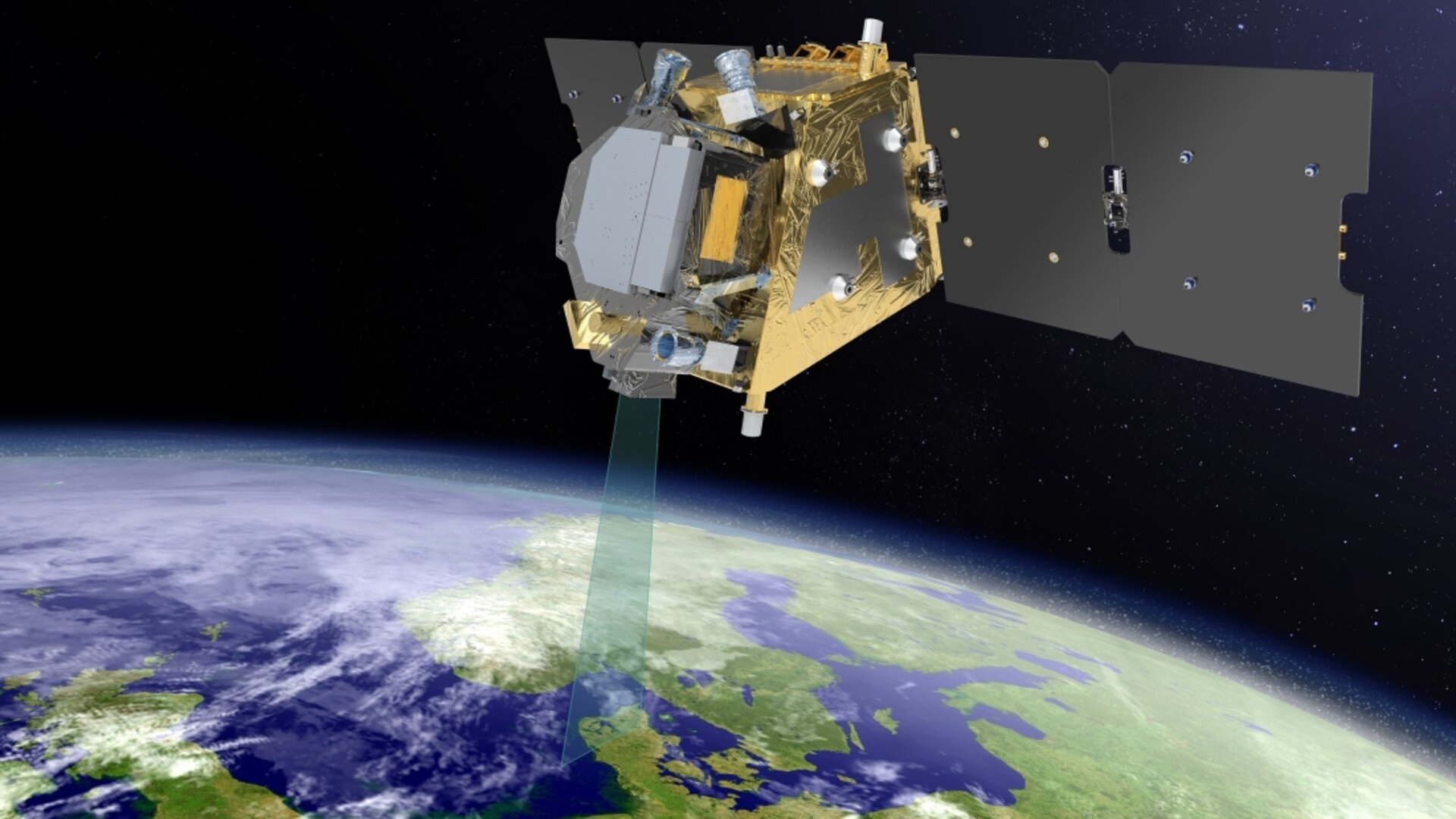
FLEX will carry the high-resolution Fluorescence Imaging Spectrometer (FLORIS), which will acquire data in the 500 - 780 nm spectral range. It will have a sampling of 0.1 nm in the oxygen bands (759–769 nm and 686–697 nm) and 0.5–2.0 nm in the red edge, chlorophyll absorption and PRI (Photochemical Reflectance Index) bands.
Data
DATA TOOLS
ESOV Software Tools
Currently, a single tool is available that will support the future visualisation of FLEX data. ESOV (Earth Observation Swath and Orbit Visualisation) provides users with the means to visualise the instrument swaths of all ESA Earth Observation satellites and assist in understanding where and when satellite measurements are made and ground contact is possible.


