 Kiev, Ukraine - 2005
 View large format Jpeg (272Kb)
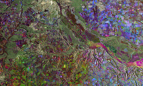
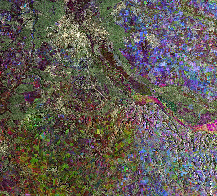
Kiev Ukraine This image centres over Kiev, the capital and largest city of Ukraine. The image is a combination of three different ERS-2 SAR acquisitions. The chief features in the image are the green and pale blue spots surrounding the city. These are agricultural fields and their bright colours derive from the radar signal reflecting in different ways according to a specific phase of the growing season. Kiev is located in the north central part of Ukraine on the Dnieper river. The river has a total lengh of 2,290 km, streching from Russia through Belarus and then Ukraine. It flows from North to South East towards the Black Sea, cutting the city into two principal districts. Kiev is an important industrial, scientific, educational and cultural center of Eastern Europe. It is home to many high-tech industries, higher education institutions - including the Taras Shevchenko State University of Kiev, the Polytechnic Institute, the Kyiv-Mohyla Academy and the Agricultural University – such world-famous museums as the WWII Museum and art institutions. Technical Information:
Coordinates:
NE Lat/Long: N 50.38 / E 29.50 |
||