- Activities
- LTDP ALTS
LTDP ALTS: ATSR Long Term Stability Project
Overview
The long time-series of observations made by the Along Track Scanning Radiometers (ATSR) missions represents a valuable resource for a wide range of research and EO applications. The ATSRs are multi-channel imaging radiometers with the principal objective of providing data concerning global Sea Surface Temperature (SST) to the high levels of accuracy and stability required for monitoring and carrying out research into the behaviour of the Earth's climate.
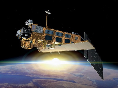
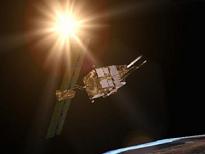
The first ATSR instrument, ATSR-1, was launched on board ESA's European Remote Sensing (ERS) satellite, ERS-1 in July 1991. ATSR-1 was followed by ATSR-2, launched on ERS-2 in April 1995 and the Advanced Along Track Scanning Radiometer (AATSR) on Envisat in February 2002. Whilst the AATSR mission has now come to an end with the loss of Envisat in April 2012, the data from these three missions provides a significant 20+ year data set of global observations in the Short Wave Infrared (SWIR) and Thermal Infrared (TIR) regions. In time, this data set will also be augmented by observations from the fourth ATSR-type instrument, the Sea and Land Surface Temperature Radiometer (SLSTR) aboard the Copernicus Sentinel-3 satellites.
With the advent of ESA's Long-Term Data Preservation (LTDP) programme, thought has turned to the preservation and improved understanding of such long time-series, to support their continued exploitation in both existing and new areas of research, bringing the possibility of improving the existing data set and to inform and contribute towards future missions. For this reason, the 'Long Term Stability of the ATSR Instrument Series: SWIR Calibration, Cloud Masking and SAA' project, commonly known as the ATSR Long Term Stability (or ALTS) project, is designed to explore the key characteristics of the data set and new and innovative ways of enhancing and exploiting it.
Contact Information
If you have any questions about this project, contact:
ESA Technical Officer: Mirko Albani
Email: mirko.albani@esa.int
Organisation: ESA
Project Manager: Hannah Clarke
Email: Hannah.Clarke@telespazio.com
Organisation: Telespazio VEGA UK Ltd
Related Mission
find out more
find out more
Data
The atmospheric total column water vapour (TCWV) retrieval algorithm, AIRWAVE (Advanced Infrared Water Vapour Estimator), has been developed using the measurements from the two thermal infrared (TIR) channels of the ATSR instrument series, namely the 10.8 and 12 µm channels. The use of the dual view capability of the ATSR instruments allows for the accurate and precise retrievals of cloud free TCWV over oceans for day-time and night-time illumination conditions.
Find out about the AIRWAVE algorithm or to obtain the AIRWAVE dataset, contact the project team.
Data Tools
The GBT-UBT Tool - version 1.6 is available (for free) for processing and analysing AIRWAVES data.
A full description covering the tool features, usage and output is available in the README.md file.
Summary of tool features:
- Parses ATSR-1, ATSR-2 and AATSR TOA 1P (Level 1B) files
- Computes UBT geolocations for measurement pixels
- Orthorectifies geolocations taking into account an external Digital Elevation Model
- Computes the acquisition time of each measurement
- Computes the extent/size of AATSR pixel Field Of Views projected onto a spherical Earth surface in along and across track directions
- Outputs array datasets in either netCDF4-CF or HDF5 format files
- Computations are multi-threaded to take advantage of multiple CPU environments
- Is written in Java to facilitate simple deployment on various Operating Systems
- Is licensed under the terms of the GNU General Public License (GPL3), which implies that it is completely free, including the source code