- All Categories (899)
- Data (4)
- News (11)
- Missions (20)
- Events (24)
- Tools (3)
- Activities (7)
- Campaigns (2)
- Documents (828)
Mission - Heritage Missions
MERIS
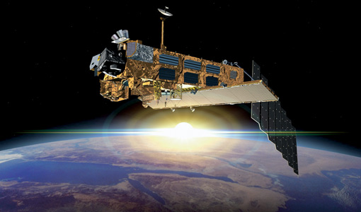
The MERIS instrument aboard Envisat was primarily dedicated to providing ocean colour measurements.
Mission - Heritage Missions
MERIS ATBD
Download Algorithm Theoretical Basis Documents (ATBD) for the Envisat MERIS instrument.
Mission - Heritage Missions
MERIS Applications
The MERIS instrument on board Envisat mainly supported ocean, atmosphere and land applications.
Mission - Heritage Missions
MERIS Cal/Val
The goal of MERIS calibration and validation activities was to verify the accuracy and quality of data the instrument acquired
Mission - Heritage Missions
MERIS Products Information
Find out what data products are available for the MERIS instrument.
Mission - Heritage Missions
MERIS Auxiliary Data
Data products produced for the MERIS instrument also utilise auxiliary data from sources external to the instrument itself
Document - Proceedings
MERIS User Workshop
Proceedings of the MERIS User Workshop held from 10-13 November 2003 at ESRIN in Frascati, Italy
Document - Product Handbook
MERIS-product-handbook.pdf
This MERIS Product Handbook guides users to choose and use MERIS data and explains the way these data are processed and organised
Document - General Reference
MERIS-Commissioning-Plan.pdf
This document is part of the ENVISAT commissioning plan, dedicated to the commissioning of the MERIS G/S, including the full
Document - Technical Note
MERIS-IPF-Evolution.pdf
This document describes the evolution of the MERIS Instrument Processing Facility (IPF) since the beginning of the ENVISAT
Mission - Heritage Missions
MERIS Processor Releases
Learn about the latest instrument processing baselines for the MERIS instrument, and find the details of what was implemented
Document - Algorithms Theoretical Baseline Document
MERIS ATBD 2-0
Introduction to MERIS Level 2 ATBDs
Document - Algorithms Theoretical Baseline Document
MERIS ATBD 2-15
MERIS aerosol remote sensing over land
Document - Algorithms Theoretical Baseline Document
MERIS ATBD 2-4
Retrieval of Total Water Vapour Content from MERIS measurements
Document - Algorithms Theoretical Baseline Document
MERIS ATBD 2-1
MERIS Cloud Albedo and Cloud Optical Thickness
Document - Algorithms Theoretical Baseline Document
MERIS ATBD 2-22
MERIS Terrestrial Chlorophyll Index
Document - Algorithms Theoretical Baseline Document
MERIS ATBD 2-04
RETRIEVAL OF TOTAL WATER VAPOUR CONTENT FROM MERIS MEASUREMENTS
Document - Algorithms Theoretical Baseline Document
MERIS ATBD 2-25
Alternative Atmospheric Correction Procedure for Case 2 Water Remote Sensing using MERIS
