- All Categories (36112)
- Data (16)
- News (174)
- Missions (32)
- Events (75)
- Tools (8)
- Activities (35)
- Campaigns (7)
- Documents (35666)
MISSIONS
Explore the European Space Agency's Earth Observation satellite missions. Learn all about ESA's dedicated Earth Explorers or collaborations with other agencies through the Third Party Missions programme.
Mission - Earth Explorers

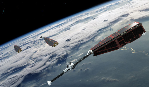
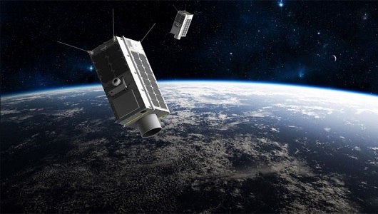
ACC (Swarm)
identification of opportunities for auroral research utilising Swarm data. find out more The Average Magnetic field and Polar current
Mission - Earth Explorers

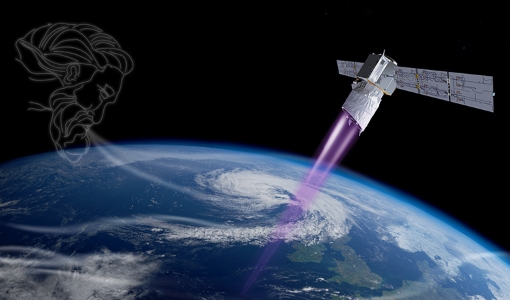
Aeolus
This is currently the only technology that can provide direct wind profile observations in clear air, inside thin clouds
Mission - Earth Explorers
ALADIN
Aeolus Quality Control Reports on L1B/Instrument, L2A and L2B products are currently available to Aeolus Cal/Val teams and
Mission - Earth Explorers
ALADIN Reports
quality reports about the public L2B Wind product: Monthly L2B reports Reports for the Aeolus L2A Aerosol/Cloud products are currently
Mission - Earth Explorers
ASM
identification of opportunities for auroral research utilising Swarm data. find out more The Average Magnetic field and Polar current
Mission - Third Party Missions
CHRIS Overview
covering the short-wave IR spectral band (SWIR, typically out to 2400 nm), in addition to the visible/near-IR (VNIR) band current
Mission - Earth Explorers
EFI
identification of opportunities for auroral research utilising Swarm data. find out more The Average Magnetic field and Polar current
Mission - Earth Explorers
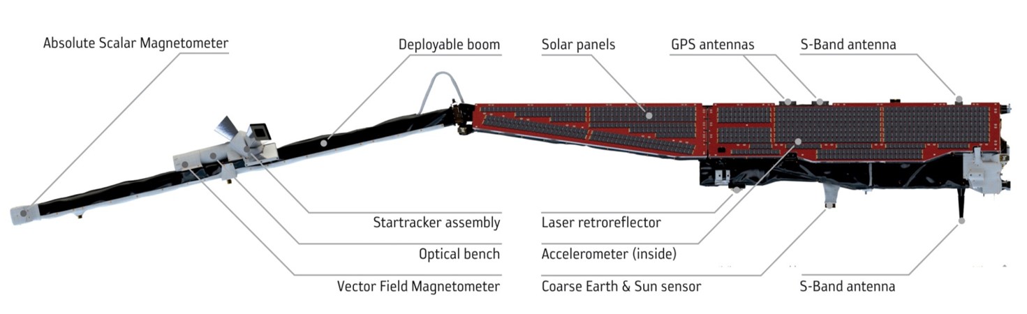
EFI Overview
The SII sensors are directly installed on the radiator for heat rejection in order to limit dark current on the CCD.
Mission - Earth Explorers
Geographical Mode Mask
The current operational Geographical Mode Mask v5.0 The current version of the geographical mode mask v5.0 has been in operation
Mission - Third Party Missions
GHGSat
The GHGSat constellation currently consists of 12 satellites: GHGSat-D (GHGSat's technology demonstrator satellite) launched
Mission - Earth Explorers
GPSR and LRR (Swarm)
identification of opportunities for auroral research utilising Swarm data. find out more The Average Magnetic field and Polar current
Mission - Third Party Missions

ICEYE
Currently, the satellites operate in five modes called 'Strip Mode', 'Spot Mode', 'Scan Mode', 'Spot Extended Area (SLEA)
Mission - Earth Watch

Instrument Processing Facilities
Level 1 Ice Products The current IPF1 installed at the Kiruna payload data segment for level-1 ice products is IPF1 vO2.3
Mission - Third Party Missions
Operational Land Imager (OLI) Overview
Off-nadir imaging is currently only done at night for TIRS-calibration purposes when it does not impact Nadir day-time imaging
Mission - Third Party Missions

PlanetScope
PlanetScope Camera The PlanetScope camera on each Dove cubesat operates currently in eight bands - red edge, red, green,
Mission - Earth Explorers

Products Information
Products Baseline for Swarm is available in the following links: Definition of Dataset and Product Baseline Data Quality: Current
Mission - Earth Explorers

Products Information
For an optimal exploitation of the current SMOS L2 data set V620 consult the read-me-first notes available for V620 soil
Mission - Earth Explorers

Products Information
here, these are intended for the purpose of becoming familiar with the format of the CryoSat Science Products from the current
Mission - Earth Explorers
SIRAL
Access is provided to all CryoSat systematic data acquired according to the current geographical mode mask.
Mission - Earth Watch
SIRAL Overview
It is also operated over some geostrophic ocean currents and major hydrological basins.