- All Categories (13)
- Data (3)
- News (7)
- Missions (1)
- Events (2)
NEWS
Discover the latest news on the European Space Agency's Earth Observation activities. Learn all about new data availability and how ESA's missions are performing.
News - Operational News
SMOS data distribution resumed
SMOS data distribution to end users was resumed on 12 March 2024 after confirmation of the adequate quality of the current data.
News - Operational News
SMOS data outage since 22 February 2024
SMOS went into safe mode on 22 February 2024 at 05:10 UTC for reasons that are still under investigation.
News - Data Release news
New reanalysis dataset impacts SMOS Level 3 and 4 sea ice thickness
On 24 January 2024 the JRA55 reanalysis dataset was terminated and updated with the Japanese Reanalysis for Three Quarters of a Century.
News - General News
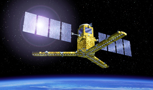
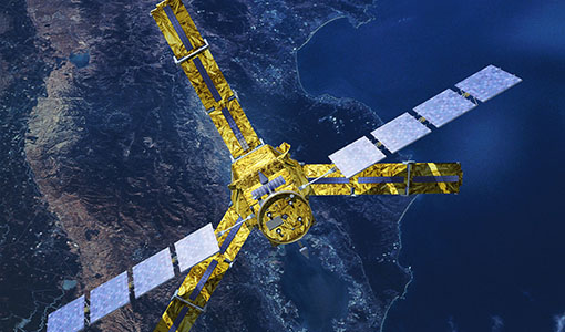
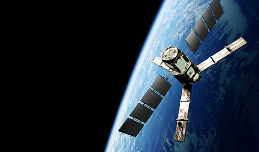
Overachieving SMOS mission primed for continued success
ESA’s Soil Moisture and Ocean Salinity mission (SMOS) was the second Earth Explorer launched in 2009. Over 13 years on, having already vastly exceeded its predicted lifetime and initial objectives, the mission has been further extended until at least the end of 2025.
News - Thematic area articles
Global understanding of Earth's land surfaces greatly boosted by satellite data
ESA perform land surface monitoring with a range of instruments onboard satellites acquiring optical and radar data. Collections of data from these missions are freely available for research purposes.
News - Thematic area articles
Satellite data central to ocean monitoring
Over 95% of Earth’s water is found in our oceans, and yet sadly, oceans are under stress from climate change and pollution. Monitoring our oceans is vital for Earth’s survival and satellites are the primary means of long-term and independent observation of our vast ocean bodies and their associated coastal zones.
News - Thematic area articles
Satellite data boost global understanding of land surface
Understanding our changing land surface is essential in the study of climate change. Satellites are used to monitor changes to the material that covers Earth’s surface, so-called land cover, such as vegetation and water.


