- All Categories (370)
- Data (12)
- News (4)
- Missions (2)
- Events (13)
- Tools (1)
- Activities (1)
- Campaigns (1)
- Documents (336)
Data - EO Sign In Authentication (Open)
VT GOCE Data
This collection contains the VT GOCE software and associated data set needed to run the software that is used for GOCE data visualisation.
Document - General Reference
Understanding our Planet - the Earth Observation Envelope Program
This brochure describes the Earth Observation Envelope Programme.
Document - General Reference
The Nine Candidate Earth Explorer Missions - Gravity Field and Steady-State Ocean Circulation Mission
This report for assessment addresses the Earth Explorer Gravity Field and Steady-State Ocean Circulation (GOCE) mission at the time when it was selected with other 9 Earth Explorer missions as potential candidate for Phase A study.
Document - General Reference
Reports from Mission Selection - The Four Candidate Earth Explorer Core Missions
The Living Planet Programme document (ESA SP-1227, available on this Library) describes the plans for the Agency's new strategy for Earth Observation in the post-2000 time frame. Out of the nine Earth Explorer Core Missions identified in 1996, four Core Missions were selected for Phase-A studies, which began in 1998, namely: the Gravity Field and Steady-State Ocean Circulation Mission; the Land-Surface Processes and Interaction Mission; the Earth Radiation Mission; and the Atmospheric Dynamics Mission. The 4 volumes forming this Special Publication describe in detail each single mission.
Campaign
PolarGap
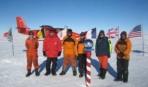
The primary objective of the PolarGap campaign was to carry out an airborne gravity survey covering the southern polar gap of the gravity field mission GOCE, beyond the coverage of the GOCE orbit.
Data - Campaigns (Open)
PolarGap
The primary objective of the PolarGap campaign was to carry out an airborne gravity survey covering the southern polar gap of the gravity field mission GOCE, beyond the coverage of the GOCE orbit.
Event - Conference
Living Planet Symposium 2022
Learn about the 2022 edition of ESA's Living Planet Symposium.
Event - Conference
Living Planet Symposium 2019
ESA's Living Planet Symposia are amongst the biggest Earth observation conferences in the world. Scientists present their latest findings on Earth's environment and climate.
Event - Conference
IGARSS 2019
World-class scientists, engineers and educators in geoscience and remote sensing gathered in Yokohama, Japan, for the 39th annual IGARSS symposium.
News - Thematic area articles
How ESA uses space data to explore deep Earth
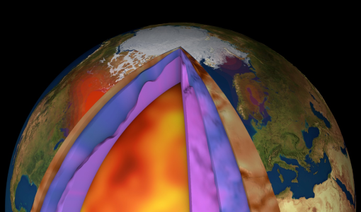
As anthropogenic activities continue to unbalance our environment, scientists strive to fully understand the intricate interactions within Earth’s system.
Tools - Apps
Heritage Missions app for Android
Download the Heritage Missions application to discover what the missions were about, how it worked and what the elements of the space and ground segment that make these missions unique.
Document - User Guide
GUT-User-Guide-and-Algorithm-Descriptions.pdf
This document describes the installation and usage of the GOCE User Toolbox (GUT). It also documents the fundamental data types, file formats, high-level algorithms and independent processing units implemented in the GUT Software.
Document - Software Verification Plan/Report
GUT-Tutorial.pdf
The objective of the GUT tutorial, together with the GUT Algorithm Description and User Guide (RD3), is to assist you in getting acquainted with the GOCE User Toolbox, whose objective is to help you take major benefit from the GOCE data for your own application.
Event - Conference
GRSG 2015 Conference
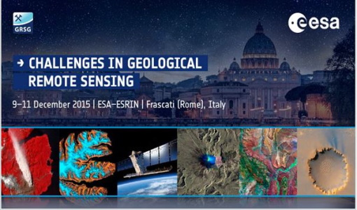
The 26th Annual GRSG Conference 'Challenges in Geological Remote Sensing' focused on a wide range of remote sensing applications, tools, latest developments and sensors.
Document - General Reference
GOCEs-Measurements-of-the-Gravity-Field-and-Beyond.pdf
This is an article extracted from the ESA Bulletin Nr. 133.
Document - Technical Note
GOCE-Preparation-of-the-GOCE-Level-1-to-Level-2-Data-Processing-Final-Report.pdf
The objective of the work in this contract is the design of theoverall architecture of the GOCE level 1 to 2 data processing system with special emphasis on the detailed identification and definition of all interfaces. Furthermore, the work will also coverthe detailed definition of the Level 2 products which are adequate to meet the requirements for further added value products (i.e.Level 3 and beyond).
Document - Technical Note
GOCE-Preparation-of-the-GOCE-Level-1-to-Level-2-Data-Processing-Executive-Summary.pdf
The objective of this document is the design of the overall architecture of the GOCE level 1 to 2 data processing system with special emphasis on the detailed identification and definition of all interfaces. Furthermore, the work covers also the detailed definition of the Level 2 products which are adequate to meet the requirements for further added value products (i.e. Level 3 and beyond).
Document - General Reference
GOCE-One-of-ESAs-Most-Challenging-Missions-Yet-A-Foreword.pdf
This article is extracted from ESA Bulletin Nr. 133.
Document - General Reference
GOCE-Obtaining-a-Portrait-of-Earths-Most-Intimate-Features.pdf
This is an article extracted from the ESA Bulletin Nr. 133.
Document - Technical Note
GOCE-Ground-Segment-Concept-and-Architecture.pdf
This document describes the GOCE Ground Segment covering missionobjectives and overview, ground segment assumptions andconstraints, ground segment architecture and functions, missionplanning, data processing, scientific data distribution,calibration and maintenance, time correlation, orbit and attitudecontrol, data circulation, ground segment validation, testing,operations and implementation.


