- All Categories (29477)
- Data (80)
- News (141)
- Missions (21)
- Events (49)
- Tools (15)
- Activities (12)
- Campaigns (17)
- Documents (29142)
Event - Meeting
World Ocean Circulation User Consultation Meeting 2019
The World Ocean Circulation User Consultation Meeting took place in 2019 with the aim to prepare a roadmap for new initiatives on ocean circulation research and applications.
Event - Workshop
Workshop on International Cooperation in Spaceborne Imaging Spectroscopy
The workshop aimed to recommend future international coordination permitting cooperation in the deployment, operation, and exploitation of space-based imaging spectrometers for terrestrial and coastal scientific and operational applications.
Campaign
WISE
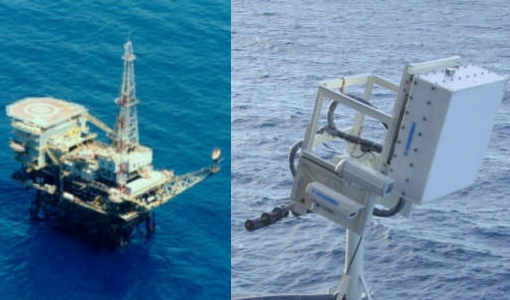
The objective of WInd and Salinity Experiment 2001 (WISE 2001) campaign was to get more data points and better wind speed measurements.
News - Infographics
What is CRYO2ICE?
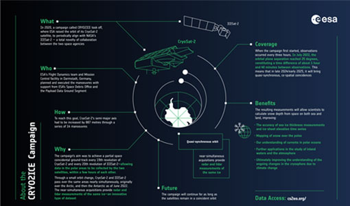
Learn about CRYO2ICE, an innovative campaign producing near simultaneous acquisitions over Antarctica from the CryoSat and ICESAT-2 missions, in this new infographic.
Document - General Reference
WATS - Water Vapour and Temperature in the Troposphere and Stratosphere.pdf
This report describes the WATS mission, one of the candidate Earth Explorers in the second cycle in 2001.
Document - Technical Note
WALES - Water Vapour Lidar Experiment in Space
This report describes the WALES mission, one of the candidate Earth Explorers in the second cycle in 2001.
Tools - Analysis
VtCryoSat
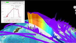
VtCryoSat is a tool for easily browsing and downloading CryoSat products through an interactive and graphical web interface.
Document - Product Cal/Val Plan/Report
Visible Channel Long Term Drift Analysis Using Desert Targets
Visible Channel Long Term Drift Analysis Using Desert Targets. The stability of AATSR visible channel calibrations have been measured using data from stable desert targets. The calibration drift rates obtained from the time-series are less than 3.5% per year and comparable to those measured for ATSR-2. Application of the drift correction to AATSR L1B images is discussed.
Event - Meeting
VH-RODA and CEOS SAR workshop
The workshop provided an open forum for the presentation and discussion of current status and future developments related to the calibration and validation of space borne very high-resolution SAR and optical sensors and data products.
News - Events and Proceedings
Very High Resolution data to take centre stage
In the last few years, European New Space providers have helped strengthen the offering of very high resolution remote sensing data products—a designated workshop this November aims to focus on the latest developments in this arena.
Document - Software Verification Plan/Report
Verification of the BUFR Form of the AATSR Meteo Product
Verification of the BUFR Form of the AATSR Meteo Product. This document describes the verification applied to the AATSR Meteo product (ATS_MET_AX) in its BUFR form
Document - Product Cal/Val Plan/Report
Validation Report following the 3rd MERIS data reprocessing
This document prepared by the MERIS Quality Working Group (QWG) corresponds to the Validation Report following the 3rd MERIS data reprocessing. It aims at qualifying and quantifying the accuracy of the MERIS L2 products generated with the version 8.0 of MERIS Ground Segment prototype (MEGS), delivered to the whole community through the ODESA software (http://earth.eo.esa.int/odesa/). It is equivalent to version 6.0 of the Instrument Processing Facilities (IPF) at ESRIN.
Document - Technical Note
UWA Processing Algorithm Specification
This technical note specifies version 2 of the algorithm to derive SAR wave spectrum products from ERS AMI wave mode data.
News - Success Stories
Using Satellite Data to Predict Floods and Droughts
Scientists are turning to remote sensing to fill the in-situ data gap in hydrological data models in some parts of the world.
News - General News
Updated SMOS documentation available
Updated versions of several SMOS data documents are now available.
News - Data Release news
Updated Precise Orbit data (POD) for the full ERS-1 and ERS-2 mission available
The Precise Orbit files (ERS.ORB.POD) for the entire ERS-1 and ERS-2 mission periods have been reprocessed with up-to-date standards.
News - Data Release news
Updated CryoSat magnetometer data now available with new baseline 0201
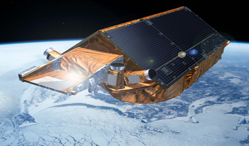
An improved version of the CryoSat magnetic field data is now available on the Swarm Dissemination Server with new baseline 0201.
News - Data Release news
Updated CryoSat magnetometer data now available
An improved version of the CryoSat magnetic field data (version 0102) is now available in the "#CryoSat-2" folder of the ESA FTP server.
