- All Categories (327)
- Data (3)
- News (3)
- Missions (4)
- Events (2)
- Tools (3)
- Campaigns (2)
- Documents (310)
Event - Workshop
Fringe 2007 Workshop
Fringe 2007 was the third International Workshop on Envisat ASAR interferometry and fifth International Workshop on ERS SAR Interferometry.
News - Success Stories
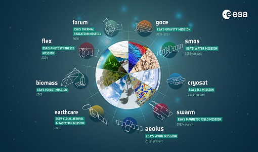
ESA's Earth Explorers surpassing expectations
In this video, learn how each Earth Explorer mission is contributing to Earth science, and changing the way we look at our beloved planet.
Campaign
AirScatterGNSS
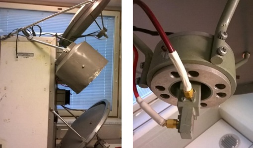
In this project an Airborne Wind Vector Scatterometer (AWVS) system was designed and built for measurements of sea surface backscattering from an aircraft.
Campaign
AfriScat
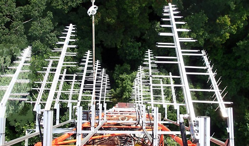
AfriScat campaign, a follow on to TropiSCAT campaign, was to acquire long-term P-Band radar data in an African tropical forest.
Tools - Other
Swarm-Aurora
Swarm-Aurora, a web-based tool, was designed to facilitate and drive the use of Swarm in-situ measurements in auroral science.
Data - Campaigns (Open)
AfriScat
AfriScat campaign, a follow on to TropiSCAT campaign, was to acquire long-term P-Band radar data in an African tropical forest.
Data - Campaigns (Open)
AirScatterGNSS
In this project an Airborne Wind Vector Scatterometer (AWVS) system was designed and built for measurements of sea surface backscattering from an aircraft.
Mission - Heritage Missions
ERS
The ERS programme was composed of two missions, ERS-1 and ERS-2, which together observed the Earth for 20 years, from 1991 to 2011.
Mission - Earth Explorers
GOCE
ESA's Gravity field and Ocean Circulation Explorer (GOCE) mission mapped Earth's geoid very accurately, opening a window into Earth's interior structure as well as the currents circulating within the depths of its oceans.
Mission - Earth Explorers
Swarm
Swarm is dedicated to creating a highly detailed survey of Earth’s geomagnetic field and its temporal evolution as well as the electric field in the atmosphere using a constellation of three identical satellites.
Mission - Copernicus Sentinels
Copernicus Sentinel-3
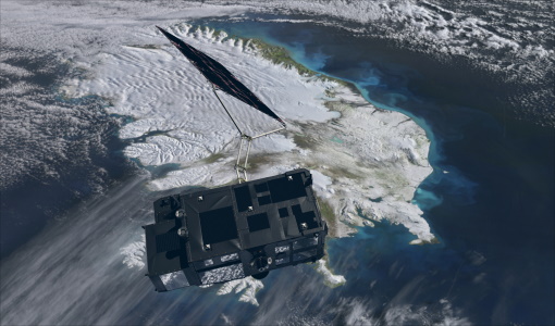
Copernicus Sentinel-3 is an European Earth Observation satellite mission developed to support Copernicus ocean, land, atmospheric, emergency, security and cryospheric applications.


