- All Categories (299)
- Data (3)
- News (7)
- Missions (1)
- Events (8)
- Tools (3)
- Activities (2)
- Documents (275)
News - Data Release news
Updated Precise Orbit data (POD) for the full ERS-1 and ERS-2 mission available
The Precise Orbit files (ERS.ORB.POD) for the entire ERS-1 and ERS-2 mission periods have been reprocessed with up-to-date standards.
News - Success Stories
Trailblazing ERS-2 mission enables climate change applications
As ESA’s ERS-2 satellite approaches Earth’s atmosphere for reentry, it’s time to reflect on the mission’s great achievements in powering climate-related applications.
Document - General Reference
Spill-Science-and-Technology-Bulletin-Special-issue-on-ERS-oil-pollution-monitoring.pdf
This special issue of the Spill Science and Technology Bulletin provides a feature on the ERS SAR contribution to oil pollution monitoring in the Mediterranean.
Document - General Reference
spaceborne-radar-applications-in-geology-an-introduction.pdf
This document is intended for geologists who are interested in broadening their knowledge of interpretation of imaging radar data. It introduces imaging radar as it may be used by technicians and image interpreters. Interferometric SAR is briefly treated, with some basic and practical hints. An illustrated application study on land subsidence is included.
Event - Workshop
SEASAR 2012
The European Space Agency and the Norwegian Space Centre jointly organised the fourth SAR oceanography workshop, 'SEASAR 2012', entitled 'Advances in SAR Oceanography'.
Event - Workshop
SEASAR 2008
The "Advances in SAR Oceanography from Envisat and ERS missions" was a thematic workshop on SAR remote sensing techniques for oceanography.
Activity - Quality
SCIRoCCo
The SCIRoCCo project is an interdisciplinary cooperation of scatterometry experts aimed at promoting the continuing exploitation of ESA's unique 20 years' worth of ERS Scatterometer data.
Document - Proceedings
PolInSAR-2009-Proceedings-of-the-4th-International-Workshop-on-Science-and-Applications-of-SAR-Polarimetry-and-Polarimetric-Interferometry.pdf
Proceedings of PolInSAR 2009 held in Frascati, Italy from 26-30 January 2009.
News - Spotlight on EO community
Introducing Mirko Albani
In this short introduction, ESA's Heritage Missions Programme Manager describes what he likes most about ESA's long term archive of satellite mission data and his role in the programme.
News - Thematic area articles
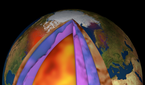
How ESA uses space data to explore deep Earth
As anthropogenic activities continue to unbalance our environment, scientists strive to fully understand the intricate interactions within Earth’s system.
Tools - Apps
Heritage Missions app for iOS
Download the Heritage Missions application to discover what the missions were about, how it worked and what the elements of the space and ground segment that make these missions unique.
Tools - Apps
Heritage Missions app for Android
Download the Heritage Missions application to discover what the missions were about, how it worked and what the elements of the space and ground segment that make these missions unique.
News - Success Stories
Heritage data still widely used today
For about 30 years now, ESA satellites have been cruising some 800 km above our heads, collecting information about our planet-but why are older missions still so fundamental today?
Tools - Other
Geohazards TEP
The Geohazards Thematic Exploitation Platform (TEP) aims to provide Earth observation data for supporting geohazards applications.
Document - General Reference
From-ERS-1-to-ERS-2-Destination-Earth.pdf
This booklet presents a small fraction of ERS-1 results. The "ERS System" is also described in five background briefing notes.
Document - Proceedings
Fringe-2011-workshop-session-summaries.pdf
This document contains the session summaries from the session summaries of the Fringe 2011 workshop.
Document - Proceedings
Fringe-2011-workshop-recommendations.pdf
This document contains the recommendations from the session summaries of the Fringe 2011 Workshop.
Event - Workshop
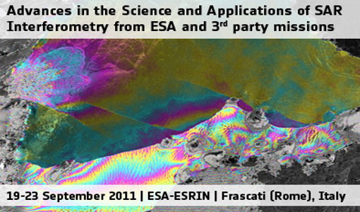
Fringe 2011 Workshop
Fringe 2011 was the 8th International Workshop on "Advances in the Science and Applications of SAR Interferometry".
Document - Proceedings
FRINGE 2007 Workshop
Proceedings of the Fringe workshop held from 26-30 November 2007 at ESA-ESRIN, Frascati, Italy.
Event - Workshop
Fringe 2007 Workshop
Fringe 2007 was the third International Workshop on Envisat ASAR interferometry and fifth International Workshop on ERS SAR Interferometry.


