- All Categories (41)
- Data (4)
- News (5)
- Missions (2)
- Events (7)
- Tools (7)
- Activities (3)
- Campaigns (2)
- Documents (11)
DATA
Discover and download the Earth observation data you need from the broad catalogue of missions the European Space Agency operate and support.
Data - Announcement of Opportunity (Restrained)
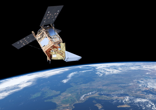
CLOSED - Announcement of Opportunity for S5PVT (Sentinel-5 Precursor Calibration and Validation Team)
In the framework of the Copernicus programme, ESA offered an announcement of opportunity to support the Sentinel-5 Precursor Calibration and Validation Team Call.
Data - Fast Registration with approval (Restrained)
IKONOS ESA archive
ESA maintains an archive of IKONOS Geo Ortho Kit data previously requested through the TPM scheme and acquired between 2000 and 2008, over Europe, North Africa and the Middle East. The imagery products gathered from IKONOS are categorised according to positional accuracy, which is determined by the reliability of an object in the image to be within the specified accuracy of the actual location of the object on the ground. Within each IKONOS-derived product, location error is defined by a circular error at 90% confidence (CE90), which means that locations of objects are represented on the image within the stated accuracy 90% of the time. There are six levels of IKONOS imagery products, determined by the level of positional accuracy: Geo, Standard Ortho, Reference, Pro, Precision and PrecisionPlus. The product provided by ESA to Category-1 users is the Geo Ortho Kit, consisting of IKONOS Black-and-White images with radiometric and geometric corrections (1-metre pixels, CE90=15 metres) bundled with IKONOS multispectral images with absolute radiometry (4-metre pixels, CE90=50 metres). IKONOS collects 1m and 4m Geo Ortho Kit imagery (nominally at nadir 0.82m for panchromatic image, 3.28m for multispectral mode) at an elevation angle between 60 and 90 degrees. To increase the positional accuracy of the final orthorectified imagery, customers should select imagery with IKONOS elevation angle between 72 and 90 degrees. The Geo Ortho Kit is tailored for sophisticated users such as photogrammetrists who want to control the orthorectification process. Geo Ortho Kit images include the camera geometry obtained at the time of image collection. Applying Geo Ortho Kit imagery, customers can produce their own highly accurate orthorectified products by using commercial off the shelf software, digital elevation models (DEMs) and optional ground control. Spatial coverage: Check the spatial coverage of the collection on a map available on the Third Party Missions Dissemination Service.
Data - Campaigns (Open)

AROMAT-II
This campaign covers the fields of atmospheric composition: NO2, SO2, aerosols, over Romania (Bucharest and Turceni) and Germany (Berlin).
Data - Campaigns (Open)

AROMAT-I
The main objective of this AROMAT-I campaign was to test newly developed airborne sensors and to evaluate their capabilities as validation tools for future air quality space borne sensors, in particular TROPOMI.