- All Categories (54)
- Data (11)
- News (20)
- Missions (7)
- Events (8)
- Campaigns (7)
- Documents (1)
DATA
Discover and download the Earth observation data you need from the broad catalogue of missions the European Space Agency operate and support.
Data - Sample Data (Open)
RapidEye Sample Data
Download free RapidEye sample datasets to preview products available for this mission.
Data - Sample Data (Open)
PAZ Sample Data
Download free PAZ sample datasets to preview products available for this mission.
Data - Sample Data (Open)
Vision-1 sample data
Download free Vision-1 sample datasets to preview products available for this mission.
Data - Sample Data (Open)
COSMO-SkyMed Sample Data
Download free COSMO-SkyMed sample datasets to preview products available for this mission.
Data - Project Proposal (Restrained)
Pléiades Neo full archive and tasking
Very High Resolution optical Pléiades Neo data at 30 cm PAN resolution (1.2 m 6-bands Multispectral) are available as part of the Airbus provision with twice daily revisit capability over the entire globe. The swath width is 14 km (footprint at nadir). Band combinations: Panchromatic one band Black & White image at 0.3 m resolution Pansharpened colour image at 0.3 m resolution: Natural colour (3 bands RGB), false colour (3 bands NIRRG), 4 bands (RGB+NIR), 6 bands Multispectral colour image in 4 bands (RGB+NIR) or 6 bands (also Deep blue and Red Edge) at 1.2 m resolution Bundle 0.3 m panchromatic image and 1.2 m multispectral image (4 or 6 bands) simultaneously acquired Geometric processing levels: Primary: The Primary product is the processing level closest to the natural image acquired by the sensor. This product restores perfect collection conditions: the sensor is placed in rectilinear geometry, and the image is clear of all radiometric distortion. Projected: The products are mapped onto the Earth cartographic system using a standard reference datum and projection system at a constant terrestrial altitude, relative to the reference ellipsoid. Ortho: The Ortho product is a georeferenced image in Earth geometry, corrected from acquisition and terrain off-nadir effects. All details about the data provision, data access conditions and quota assignment procedure are described in the Terms of Applicability available in the Resources section. As per ESA policy, very high-resolution imagery of conflict areas cannot be provided.
Data - Announcement of Opportunity (Restrained)
Announcement of Opportunity for NoR
ESA invites submissions for the Network of Resources (NoR) call, which aims to support research, development and pre-commercial users to innovate their working practices, moving from a data download paradigm towards a 'bring the user to the data' paradigm.
Data - Campaigns (Open)
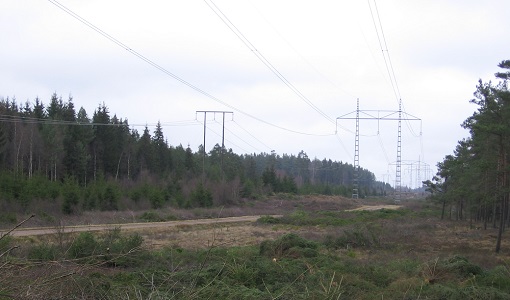
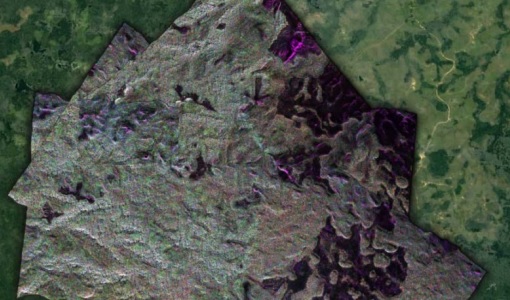
BioSAR 2008
The main objective of BioSAR-2 (BioSAR 2008) campaign was to record SAR data over boreal forests with topographic effects to investigate the effect on biomass retrieval.
Data - Campaigns (Open)
BioSAR 2007
The BioSAR campaign aimed to support geophysical algorithm development, calibration/validation and the simulation of future spaceborne Earth Observation missions.
Data - Campaigns (Open)
AfriSAR 2015
During the AfriSAR 2015 campaign, shared between ONERA (dry season, July 2015) and DLR (wet season 2016), Pol-InSAR and TomoSAR airborne data set were collected over four test sites over Africa, therefore covering different forest structures.
Data - Campaigns (Open)
FLEX-US
The primary goal of the 2013 joint ESA/NASA airborne campaign was to record an unprecedented FLEX-like dataset containing maps of sun-induced fluorescence, hyperspectral reflectance, surface temperature, and canopy structure.
Data - Campaigns (Open)
PhotoProxy 2019
The Photosynthetic-Proxy Experiment campaign address relevant open aspects that are related to the quantitative assessment of vegetation photosynthesis and vegetation stress from space.

