- All Categories (350)
- Data (3)
- News (22)
- Missions (23)
- Events (19)
- Tools (4)
- Activities (11)
- Documents (268)
Document - Conference Presentation - Poster

Global-Surface-Geostrophic-Currents-From-Satellite-Altimetry-and-GOCE
Global Surface Geostrophic Currents from Satellite Altimetry and GOCE J.M. Sánchez-Reales, I. Vigo, S.G. Sin & B.F. Chao
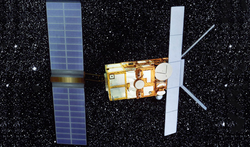
Mission - Earth Explorers

GOCE
Explorer (GOCE) mission mapped Earth's geoid very accurately, opening a window into Earth's interior structure as well as the currents
Document - General Reference

Earth-Explorers-Satellites-to-understand-our-changing-Earth.pdf
This eight-page brochure provides an overview of the Earth Explorers currently in orbit and those under development.
Event - Workshop

2nd Space for Hydrology Workshop
The workshop aimed to assess the current stage of knowledge and activities in space-based hydrological observations and to
Document - General Reference
SCI-PUB-14-0002-v01-WMO-report-1.0.pdf
The ERS Scatterometers in the Global Climate Observing System report describes the current and anticipated relationship and
Document - Proceedings

First-International-GOCE-Workshop-GOCE-Germany-Oceanography.pdf
describes using data from the GOCE satellite mission in order to determine structure and transport of the Antarctic Circumpolar Current
Event - Meeting

VH-RODA and CEOS SAR workshop
The workshop provided an open forum for the presentation and discussion of current status and future developments related
Document - Software Verification Plan/Report

GUT2-WP6000-Final-Report.pdf
combined to models of the marine geoid to estimate the ocean Mean Dynamic Topography, and, by geostrophy, the ocean mean currents
Data - Fast Registration with approval (Restrained)
ERS-1/2 ATSR Averaged Surface Temperature [AT1/AT2_AR__2P]
sets provide, for sea cells, nadir and dual view sea surface temperatures, and for land cells, land surface temperature (currently
Data - Fast Registration with immediate access (Open)

ERS PRARE Precise Orbit Product (ERS.ORB.POD/ERS.ORB/PRC)
Several orbit solutions are currently distributed: A new set of ORB POD (Precise Orbit Determination - REAPER v2) computed
Activity - Quality

EDAP
The following missions are currently being considered as part of the Automatic Identification System (AIS) and Radio Frequency
Tools - Analysis

GOCE User Toolbox
Data output formats The current data formats that GUT can provide in output are: netCDF (Climate and Forecast Metadata Convention
Event - Workshop
GOCE - 4th International User Workshop 2011 sessions
On the Current Status of the Cooperative Research Project Real Data Analysis GOCE (REAL GOCE) W.-D. Schuh & B.
Activity - Quality
SCIRoCCo
Author: The SCIRoCCo Team Abstract: The ERS Scatterometers in the Global Climate Observing System report describes the current
Event - Workshop

SEASAR 2012
Aouf 14:00 - 14:20 Towards consistent inversion of wind, waves and surface current from SAR Bertrand Chapron (IFREMER, France
News - Thematic area articles

How satellite data help to shape society
Title: Current drought situation in Ebro basin Description: The SMOS soil-moisture-based drought monitor is updated monthly
Event - Training

EO Summer School 4
Keynote lectures on global change issues are also given to discuss the current state of the science of global change and
Document - Conference Presentation - Poster
7-Highres-Surface-Velocity-Monitoring-Wide-Swath-SAR.pdf
High resolution Surface Velocity Monitoring with Wide Swath SAR: A User´s Guide to the Range Doppler Method Johnny Johannessen (NERSC, Norway)
Document - Conference Presentation - Poster
Estimating-North-Atlantic-Mean-Dynamic-Topography-R-J-Bingham.pdf
GOCE - 4th International User Workshop 2011 sessions presentation
Mission - Heritage Missions
SAR (ERS) Processor Releases
It should be noted that for SAR, each product ordered is processed directly from the raw data, using the current version