About WorldView Legion
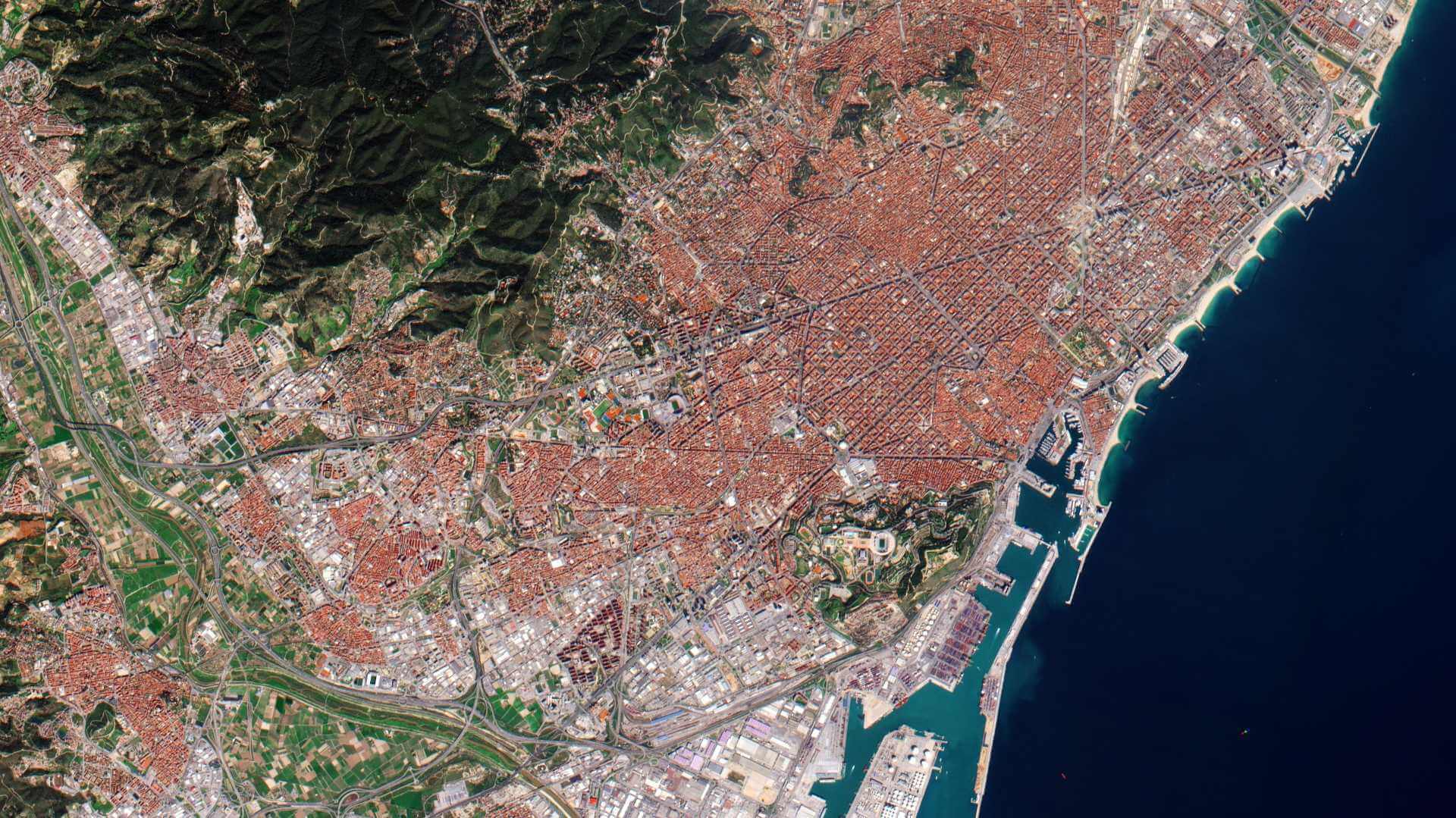
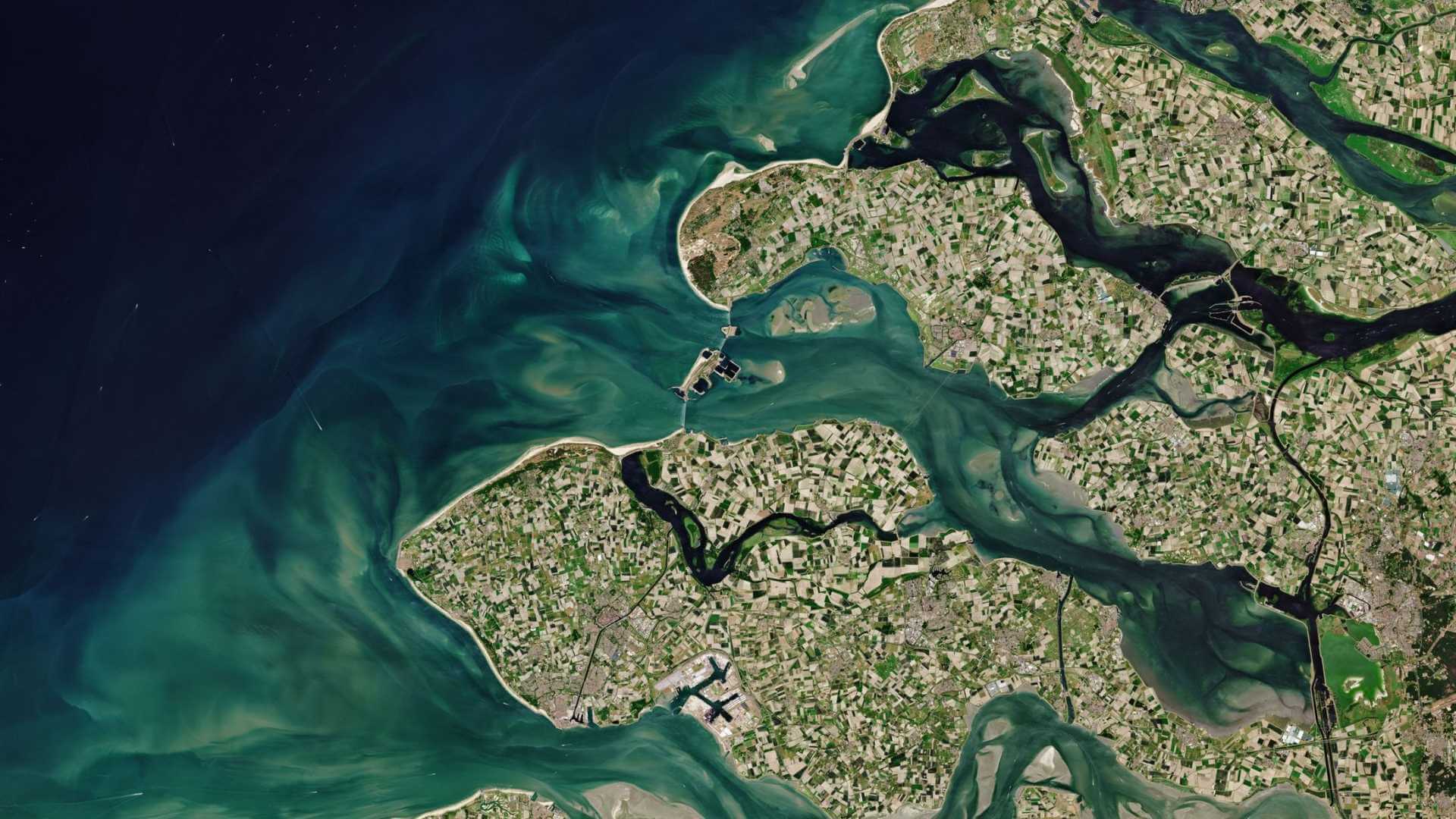
WorldView Legion is a constellation of six very high resolution imaging satellites from Vantor. The first two satellites in the constellation were launched on the 2 May 2024, followed by two subsequent launches of two satellites each in August 2024 and February 2025.
Operating alongside the existing WorldView-1 to WorldView-4 satellites, WorldView Legion provides 34 cm panchromatic imagery and 1.36 m 8-band multispectral imagery. With a mix of sun-synchronous and mid-inclination orbits, the WorldView Legion constellation is designed to provide up to 15 revisits per day, depending on location, allowing multiple images of the same location to be captured throughout the day.
| Orbit Altitude | 518 km |
| Orbit Type | Sun-synchronous and Mid-inclination |
| Revisit Time | Up to 15 times per day |
Objectives
WorldView Legion satellites triple the capacity to collect 30 cm class imagery, with more than 5 million square kilometres collected per day. With a mix of sun-synchronous and mid-inclination orbits, WorldView Legion dramatically expands the ability to revisit high-interest areas to better inform critical, time-sensitive decisions.
WorldView Legion Instruments
WorldView Legion Camera
The WorldView Legion camera collects images at 0.34 m panchromatic resolution and 1.36 metre resolution in the eight VNIR bands. Imagery is acquired with a swath width of 10 km at nadir.
WorldView Legion has bands for enhanced multispectral analysis (coastal blue, yellow, red edge 1, and red edge 2) designed to improve segmentation and classification of land and aquatic features.
| Mode | Band name | Spectral range | GSD (Ground Sampling Distance) |
| Panchromatic | Pan | 450 – 800 nm | 0.34 m at nadir |
| Multispectral (8-band) | Coastal | 400 – 450 nm | 1.36 m at nadir |
| Blue | 450 – 510 nm | ||
| Green | 510 – 580 nm | ||
| Yellow | 585 – 625 nm | ||
| Red | 630 – 690 nm | ||
| Red Edge 1 | 695 – 715 nm | ||
| Red Edge 2 | 730 – 750 nm | ||
| Near IR | 770 – 895 nm |
WorldView Legion provides a high geolocation accuracy of less than 5 m CE90 with a RMSE of less than 1.5 m. This high geolocation accuracy ensures that the imagery is suitable for applications requiring precise spatial information, such as urban planning, environmental monitoring, and infrastructure assessment.
| Swath Width | 10.0 km at nadir |
| Daily Coverage | 5,000,000 km2 |
| Geolocation Accuracy | < 5 m CE90 without ground control points < 1.5 m RMSE |
Data
These collections are available as part of the Vantor Standard Satellite Imagery products and are distributed by European Space Imaging (EUSI).
ESA will support as many high-quality and innovative within the quota limit available, therefore only a limited amount of products can be made available to each project.