- WorldView-2
- Mission
- WorldView-2 Objectives
WorldView-2 Objectives
Mission Objectives

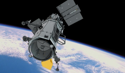
WorldView-2 is the first high-resolution 8-band multispectral commercial satellite. WorldView-2 substantially expands imagery product offerings to all Maxar customers.
Science
WorldView-2 provides highly detailed imagery for precise map creation, change detection, and in-depth image analysis - imagery must be re-sampled to 50 cm for non-US Government customers. Earth features can be geolocated to less than 5 m to create maps in remote areas, maximising the utility of available resources - stereoscopic collection on a single pass, ensures image continuity and consistency of quality.
The additional spectral bands enable WorldView-2 to more accurately present the world as the human eye can perceive it, creating a more realistic "true colour" view of the world.