Featured
About Spire

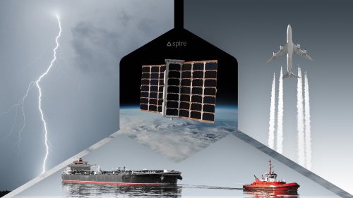
The Spire Global constellation is the world’s largest multi-purpose constellation and is composed of nearly 100 LEMUR nanosatellites. For the past few years, multiple LEMURs have been launched several times yearly in a variety of low Earth orbits, ensuring constant replenishment and unprecedented coverage of Earth with a focus on radio frequency monitoring. Each satellite is equipped with a variety of sensors, including customer-designed and manufactured payloads.
For ESA TPM, Spire provides data collected by Spire payloads designed to track VHF (100s MHz) to L-band (GHz) signals for applications in maritime and aviation tracking, weather forecasting, and remote sensing.
| Orbit Altitude | 500-550 km |
| Orbit Type | Equatorial and sun-synchronous |
| Orbit Inclination | 37°, 51.6°, 82° |
| Orbit Period | 95 minutes |
| Number of Satellites | ~100 |
Spire Objectives
The constellation of LEMUR satellites operated by Spire Global offers satellite-based maritime and aviation tracking alongside remote sensing of the Earth’s atmosphere, ionosphere, and surfaces, with unprecedented temporal and spatial coverage.
Spire Instruments
The LEMUR satellites and their instrumentation are closely bound together as on-board software-defined radio payloads:
STRATOS
STRATOS is an advanced, science-grade Global Navigation Satellite System (GNSS) receiver designed in-house. Its primary task is to collect rising and setting radio occultations (RO) signals transmitted by GNSS constellations (GPS, Galileo, GLONASS, BeiDou, and QZSS) using its two limb-facing antennas. Radio occultations are used to uniquely determine temperature, pressure, and humidity profiles of the Earth's atmosphere for applications in operational meteorology; Spire is the world’s leading RO provider and RO is one of the most important observation types for weather forecasting.
Spire continues to implement novel capabilities such as Polarimetric RO. A zenith-pointing antenna is used for Precise Orbit Determination. Additionally, the collected GNSS signals are used for space weather characterization and remote sensing of the Earth’s surface using reflected GNSS signals. Spire splits this into two methods: near-nadir with DDM processing like (NASA CYGNSS), focusing the processing on the downstream applications of soil moisture and ocean wind / wave conditions. Then grazing angle GNSS-R where processing focuses on altimetry from smooth surfaces, and sea ice classification.
MARITIME 2.0
Maritime 2.0 is a platform for processing and delivering AIS (Automatic Identification System) signals transmitted by ships worldwide, providing global tracking (identification, position, course, speed and voyage information) alongside detailed vessel characteristics for maritime safety. Maritime 2.0 processes AIS messages received on the LEMUR constellation as well as land-based receivers into a coherent and cleansed data stream.
The system is designed to improve data quality and vessel identification by resolving data errors often found in AIS data resulting in more reliable and higher quality vessel tracking.
AIRSAFE
AIRSAFE is an ADS-B (Automatic Dependent Surveillance-Broadcast) receiver for tracking of aircraft on a global scale. Its directional patch antenna collects 1090 MHz Mode-S Extended Squitter messages (DF17 and DF18).
Spire Data
DATA COLLECTIONS
For scientific research and application development, ESA is offering access to the full Spire catalogue, both live and historical data, upon submission and acceptance of the project proposal.
The following data collection is available:

