- Data
- IRS-1C/1D European coverage
IRS-1C/1D European coverage
Navigate To
How to Access Data
EO Sign In Authentication (Open)
- Go to the Dissemination Service
- Find the product you want via a map
- Register or log in to EO Sign In
- Download.
In the IRS-1C/1D Optical Online Dissemination Service and catalogue the data is collection based and allows data browse and download through the treeview as well as via geographical search using a static map.
The products can also be discovered through ESA's EO Catalogue (EO CAT), which allows users to browse and download products among the available datasets from ESA and Third Party Missions and instruments, using various criteria (spatial, temporal).
New users can register an account on EO Sign In. For further information about the EO Sign In Service you can visit TellUs.
ESA internal users can use their ESAAD account.
Should you need support to access the data, please contact EOHelp.
Available to Residents of the Following Countries
Collection Description
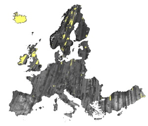
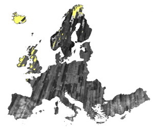
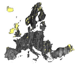
IRS-1C/1D dataset is composed of products generated by the Indian Remote Sensing (IRS) Satellites 1C/1D PAN sensor. The products, acquired from 1996 to 2004 over Europe, are radiometrically and ortho corrected level 1 black and white images at 5 metre resolution and cover an area of up to 70 x 70 km.
| Sensor | Type | Resolution (m) | Coverage (km x km) | System or radiometrically corrected | Ortho corrected (DN) | Acquisition in Neustrelitz |
| PAN | Panchromatic | 5 | 70 x 70 | X | X | 1996 - 2004 |
Copyright: 2015 GAF AG
Copyright: 2015 GAF AG
Copyright: 2015 GAF AG
Spatial coverage: Check the spatial coverage of the collection on a map available on the Third Party Missions Dissemination Service.
Technical Details
DATA SET SPECIFICATIONS
- European Space Agency, 2018, IRS-1C/1D ESA Archive. Version 1.0.https://doi.org/10.5270/esa-ht6sxz7
PROCESSING LEVEL
APPLICABLE TERMS & CONDITIONS
DATA CITATION
Having Problems Accessing Data?
Resources
Discover Latest Data
Announcement of Opportunity for Spire data
ESA is launching an Announcement of Opportunity for the international scientific community to access data from the Spire mission for science...
ERS ATSR L1B Brightness Temperature/Radiance [ER1_AT_1_RBT / ER2_AT_1_RBT]
Band measurements with associated uncertainty estimates. The ERS-1/2 ATSR Level 1B Brightness Temperature/Radiance products (RBT) contain to...
TomoSense
The TomoSense experiment was conceived to provide the scientific community with unprecedented data to study the features of radar scattering...
WIVERNex-UK
This campaign was designed to extend the Chilbolton ground measurement record that involved analysis of radar observations made by the 94 GH...