- Activities
- PV-LAC-COAST
PV-LAC-COAST
Overview
The PV-LAC-COAST: Proba-V New Coastal Products project aims to develop, test, and validate two advanced algorithms for the scientific exploitation of the Proba-V mission, one focusing on atmospheric correction and the other on coastal products.
Coastal areas are of high ecological and economic value however they are, today, subject to intense human-induced environmental pressures. An effective monitoring system is therefore vital for the operational management and safeguarding of coastal areas.
Traditional in-situ monitoring programs are very labour-intensive; the temporal and spatial scales of the measurements are often insufficient to capture the variability of the water quality in the highly dynamic coastal environments. On the other hand, satellite remote sensing has the potential to monitor the coastal area and its dynamics in a synoptic and cost-effective way. To monitor these coastal areas a 250 m spatial resolution is often put forward (e.g. MODIS 250 m channels, MERIS, Copernicus Sentinel-3). However, this spatial resolution might be inadequate to monitor small scale features in near shore areas such as ports and estuaries i.e. areas which are facing intensified anthropogenic pressures from maintenance of capital dredging activities, large scale construction works etc. Here, a 100 m Proba-V product might be a significant added value.
The main objective of this activity is to demonstrate the use of Proba-V 100 m data for the retrieval of TSM (Total Suspended Matter) in coastal areas. This activity includes the selection of both an optimal atmospheric correction scheme and TSM retrieval algorithm.
PV-LAC-COAST: Proba-V New Coastal Products project is part of the Instrument Characterization Studies. Maintenance and improvements of instrument characterisation and algorithm definition are crucial activities to guarantee that the requirements formulated in the MRD (Mission Requirement Document) are effectively fulfilled and potentially enhanced. These activities are nominally managed within the Quality Working Group, though some complementary studies are funded by ESA for supporting ad-hoc recalibration and reprocessing campaigns as well as for developing advanced scientific processors and innovative geophysical products.
Contact Information
If you have any questions about this project, contact:
Dr. Else Swinnen
Address: VITO – Remote Sensing, Boeretang 200, B-2400 Mol, Belgium
Email: else.swinnen@vito.be
Dr. Fabrizio Niro
Address: ESA-ESRIN, Via Galileo Galilei Frascati (RM), 00044 Italy
Email: fabrizio.niro@esa.int
Related Mission
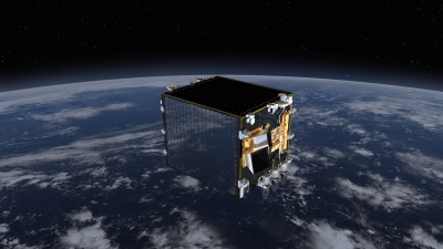
ESA's Proba-V mission is a small satellite that provides multi-spectral images for the study of the evolution of vegetation cover on a daily and global basis.
Activity Consortium
