- All Categories (13)
- Data (2)
- News (3)
- Missions (1)
- Events (3)
- Activities (1)
- Documents (3)
News - Success Stories

Long-term satellite data show wind farms can affect local air currents
Long-term measurements allow before and after comparison Data from the heritage Envisat satellite currently maintained accessible
Data - EO Sign In Authentication (Open)
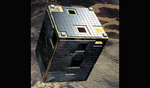
PROBA-1 HRC
All PROBA-1 passes are systematically acquired according to the current acquisition plan, HRC data are processed every day
Activity - Quality

EDAP
The following missions are currently being considered as part of the Automatic Identification System (AIS) and Radio Frequency
Event - Workshop

SEASAR 2012
Aouf 14:00 - 14:20 Towards consistent inversion of wind, waves and surface current from SAR Bertrand Chapron (IFREMER, France
Document - Proceedings

SEASAR-2012-sessions-summaries-seed-questions-recommendations.pdf
This document gathers together the sessions summaries with seed questions discussion and recommendations of the SEASAR 2012 workshop.
News - Events and Proceedings

Φ-Week Triumphs
Opening Session Title: Φ-Week's Opening Session Description: During the fourth edition of ESA’s Φ -Week, Josef Aschbacher, current
Event - Workshop

Coastal and Marine Applications of SAR Workshop 2003
Applications were specifically focussed on wind, waves, sea ice, and currents.
Document - Conference Presentation - Poster

8_PolinSAR2013_soil_moisture_wetland_session_summary_Fina.pdf
Applications of SAR Polarimetry on Land: Soil Moisture and Wetlands
Data - EO Sign In Authentication (Open)
PROBA-1 CHRIS Level 1A
spectral bands, nadir ground sampling distance 17m @ 556km All Proba-1 passes are systematically acquired according to the current
Event - Meeting

GRSG 2011 Workshop and AGM
The current membership includes geologists and remote sensing experts employed within industry, academia and government agencies
Document - Conference Presentation - Poster
7-Clean_Sea_Net.pdf
The "New Generation" of CleanSeaNet: the EU Remote Sensing Based Monitoring System for Oil Spill and Vessel Detection Sonia Pellizzari (European Maritime Safety Agency)
News - Thematic area articles

Space helps monitor Earth’s changing biosphere
Ocean chlorophyll concentrations can change when ocean currents shift, or sea temperature rises - all impacts of climate
Mission - Third Party Missions
CHRIS Overview
covering the short-wave IR spectral band (SWIR, typically out to 2400 nm), in addition to the visible/near-IR (VNIR) band current