- All Categories (7)
- News (2)
- Activities (1)
- Documents (4)
News - Thematic area articles
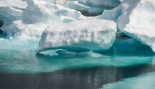
Satellites reveal changes to Earth’s icy zones
By combining information collected by current and previous missions, researchers can estimate how the cryosphere is evolving
News - Thematic area articles
Satellite data central to ocean monitoring
microwave monitoring instruments, optical imagers, and infrared radiometers, which can map ocean variables related to ocean currents
Document - General Reference
Reports from Mission Selection - The Four Candidate Earth Explorer Core Missions
The Living Planet Programme document (ESA SP-1227, available on this Library) describes the plans for the Agency's new strategy for Earth Observation in the post-2000 time frame. Out of the nine Earth Explorer Core Missions identified in 1996, four Core Missions were selected for Phase-A studies, which began in 1998, namely: the Gravity Field and Steady-State Ocean Circulation Mission; the Land-Surface Processes and Interaction Mission; the Earth Radiation Mission; and the Atmospheric Dynamics Mission. The 4 volumes forming this Special Publication describe in detail each single mission.
Document - General Reference
ESA-Achievements-More-than-thirty-years-of-pioneering-space-activity.pdf
This volume gives a general overview of ESA's activities and programmes by analyzing the single missions where it is involved.
Document - General Reference
Earth-Explorers.pdf
This flyer gives a quick overview of the 6 Earth Explorers missions.
Document - General Reference
Earth-Explorers-Satellites-to-understand-our-changing-Earth.pdf
This eight-page brochure provides an overview of the Earth Explorers currently in orbit and those under development.
Activity - Projects
Dragon 3 Cooperation Programme
Surveying and Mapping China Mirjam Bilker-Koivula, Hannu Ruotsalainen Finnish Geodetic Institute Finland 10677 - GSM4GCM Current

