- All Categories (115)
- Data (1)
- News (4)
- Missions (12)
- Events (7)
- Activities (3)
- Documents (88)
Data - Fast Registration with approval (Restrained)
ERS-1/2 ATSR Averaged Surface Temperature [AT1/AT2_AR__2P]
sets provide, for sea cells, nadir and dual view sea surface temperatures, and for land cells, land surface temperature (currently
Activity - Quality
SCIRoCCo
Author: The SCIRoCCo Team Abstract: The ERS Scatterometers in the Global Climate Observing System report describes the current
Event - Training

EO Summer School 4
Keynote lectures on global change issues are also given to discuss the current state of the science of global change and
Mission - Heritage Missions

SAR (ERS) Processor Releases
It should be noted that for SAR, each product ordered is processed directly from the raw data, using the current version
Event - Training
EO Summer School 3
In line with observations it shows anti-cyclonically rotating surface currents and cyclonically rotating bottom currents.
Event - Training
EO Summer School 5
Keynote lectures on global change issues are also given to discuss the current state of the science of global change and
Document - General Reference

Earth-Observation-from-Space-supporting-Biodiversity-Conservation.pdf
This brochure provides an overview of the ESA-funded Diversity project, which aims to demonstration the contribution Earth observation makes towards monitoring the trends and status of different marine and terrestrial ecosystems relevant to diversity.
Document - General Reference
Earth-Observation-Services-Today-Using-Radar-from-Space.pdf
This booklet provides descriptions of EO services available today from specialist providers for the marine environment e.g. CLS (Collecte Localisation Satellites] and NERSC (Nansen Environmental and RemoteSensing Centre], Ocean Numerics, ARGOSS, MeteoMer and Satellite Observing Systems (SOS].
Document - General Reference
New-views-of-Earth-Scientific-achievements-of-ERS-1.pdf
This document concentrates on the scientific achievements of the ERS-1 satellite. Its purpose is to present examples of high quality scientific work which clearly demonstrate that ERS-1 data are being used extensively within the international science community.
News - Data Release news

New reprocessing of datasets celebrates 30 years of ERS
For each surface, the experts will use our current knowledge acquired over 30 years of experience, to improve the ERS altimetric
Mission - Heritage Missions
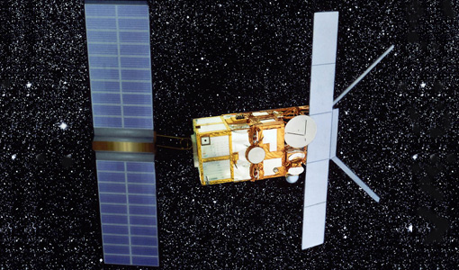
SAR (ERS)
Processor Releases It should be noted that for SAR, each product ordered is processed directly from the raw data, using the current
Document - User Guide

FM94-BUFR-Encoding-Software-for-ERS Data-Software-User-Manual.pdf
This user manual is applicable to Version 5 of the World Meteorological Organization (WMO) FM94 BUFR Decoding Software for ERS data. It describes: The installation of the software, the post-installation testing of the software, the user interfaces to the BUFR encoder, the completion status and error codes that can be expected, and how corrupt products are handled.
Document - Proceedings

Dragon Programme Mid-Term Results
Proceedings of the 2005 Dragon Symposium held on 27 June - 1 July 2005 in Santorini, Greece.
Mission - Heritage Missions

ERS Radar Course 1
Therefore, microwaves easily penetrate clouds, and images can be acquired independently of the current weather conditions
Document - General Reference
New-Views-of-the-Earth-Applications-Achievements-of-ERS-1.pdf
This document describes the Applications Achievements of ERS-1 and includes colour illustrations and images.
Document - General Reference
The Nine Candidate Earth Explorer Missions - Topography Mission
This report for assessment addresses the Topography mission when it was selected with other nine Earth Explorer missions as a potential candidate for Phase A study.
Document - User Guide
ERS-User-Handbook.pdf
This user handbook is intended to assist users in accessing ERS services and how to order products. It also contains useful information regarding the ERS mission itself.