- All Categories (67213)
- Data (325)
- News (720)
- Missions (84)
- Events (207)
- Tools (61)
- Activities (77)
- Campaigns (107)
- Documents (65632)
Data - Restrained Access (Restrained)
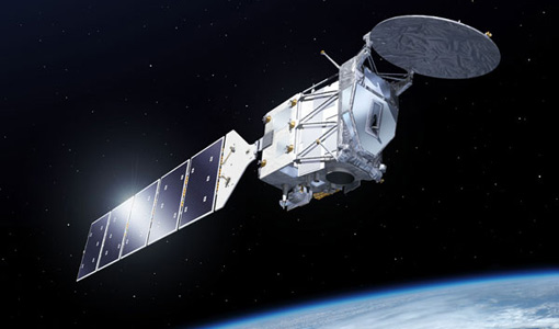
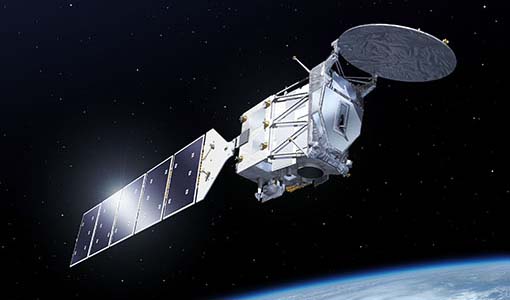
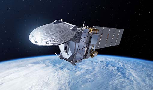
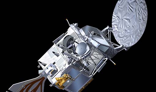
EarthCARE ESA L2 Products for Cal/Val Users
This EarthCARE collection is restrained, and contains the following data products: Level 2a: Single-Instrument Geophysical Products These products are derived from individual instrument data onboard EarthCARE. They provide detailed geophysical parameters and properties specific to each instrument's capabilities for example cloud and aerosol properties derived solely from radar or lidar measurements, offering high-resolution insights into atmospheric phenomena. Level 2b: Synergistic Geophysical Products Synergistic Geophysical Products Level 2b products leverage data from multiple EarthCARE instruments to generate comprehensive, synergistic geophysical datasets. By combining measurements from instruments like radar, lidar, and radiometers, these products offer a more integrated view of cloud-aerosol interactions and atmospheric dynamics. Synergistic products provide enhanced accuracy and depth compared to single-instrument outputs, enabling detailed studies of complex atmospheric processes.
Data - Fast Registration with approval (Restrained)
EarthCARE JAXA L2 Products for Cal/Val Users
This EarthCARE collection is restrained, and contains the following data products: Level 2a: Single-Instrument Geophysical Products These products are derived from individual instrument data onboard EarthCARE. They provide detailed geophysical parameters and properties specific to each instrument's capabilities for example cloud and aerosol properties derived solely from radar or lidar measurements, offering high-resolution insights into atmospheric phenomena. Level 2b: Synergistic Geophysical Products Level 2b products leverage data from multiple EarthCARE instruments to generate comprehensive, synergistic geophysical datasets. By combining measurements from instruments like radar, lidar, and radiometers, these products offer a more integrated view of cloud-aerosol interactions and atmospheric dynamics. Synergistic products provide enhanced accuracy and depth compared to single-instrument outputs, enabling detailed studies of complex atmospheric processes.
Data - Fast Registration with approval (Restrained)
EarthCARE ESA L2 Products for the Commissioning Team
This EarthCARE collection contains the following data products: Level 2a: Single-Instrument Geophysical Products These products are derived from individual instrument data onboard EarthCARE. They provide detailed geophysical parameters and properties specific to each instrument's capabilities for example cloud and aerosol properties derived solely from radar or lidar measurements, offering high-resolution insights into atmospheric phenomena. Level 2b: Synergistic Geophysical Products Level 2b products leverage data from multiple EarthCARE instruments to generate comprehensive, synergistic geophysical datasets. By combining measurements from instruments like radar, lidar, and radiometers, these products offer a more integrated view of cloud-aerosol interactions and atmospheric dynamics. Synergistic products provide enhanced accuracy and depth compared to single-instrument outputs, enabling detailed studies of complex atmospheric processes.
Data - Fast Registration with approval (Restrained)
EarthCARE L0 and L1 Products for the Commissioning Team
This EarthCARE collection for the Commissioning Team contains the following data products: Level 0: Annotated Raw Instrument Source Packets These packets contain unprocessed data as generated by EarthCARE's instruments, annotated with basic metadata in front of each packet Level 1b: Fully Calibrated and Geolocated Instrument Measurements Level 1b products are fully processed, calibrated, and geolocated measurements from EarthCARE's instruments. Each measurement is aligned with the native instrument grid. For the Broadband Radiometer (BBR), measurements are also spatially integrated to various ground pixel sizes. Level 1C (MSI only): MSI Level 1b Data Interpolated to a Common Spatial Grid Specifically for the Multi-Spectral Imager (MSI), Level 1c data involves interpolating Level 1b measurements onto a standardised spatial grid that is consistent across all MSI bands. This grid closely matches the spacing used in MSI Level 1b data. Level 1D: Joint Standard Grid (JSG) for all Instruments and ECMWF Meteorological Fields Level 1d data provide a spatial grid to enable easy collocation and synergistic use of the data from all EarthCARE instruments, named the "joint standard grid." Additionally, this level incorporates ECMWF (European Centre for Medium-Range Weather Forecasts) meteorological fields limited to the EarthCARE swath, enabling comprehensive analysis and modelling of atmospheric conditions within the satellite's coverage area.
Data - Fast Registration with approval (Restrained)
EarthCARE L1 Products for Cal/Val Users
This EarthCARE collection is restrained, and contains the following data products: Level 1B: Fully Calibrated and Geolocated Instrument Science Measurements Level 1b data represents the fully processed, calibrated, and geolocated measurements from EarthCARE's instruments. Each measurement is aligned with the native instrument grid. For the Broadband Radiometer (BBR), measurements are also spatially integrated to various ground pixel sizes. Level 1C (MSI only): MSI Level 1b Data Interpolated to a Common Spatial Grid Specifically for the Multi-Spectral Imager (MSI), Level 1c data involves interpolating Level 1b measurements onto a standardised spatial grid that is consistent across all MSI bands. This grid closely matches the spacing used in MSI Level 1b data. Level 1D: Joint Standard Grid (JSG) for all instruments with ECMWF Meteorological Fields. Level 1d data provides a spatial grid to enable easy collocation and synergistic use of the data from all EarthCARE instruments, named the "joint standard grid." Additionally, this level incorporates ECMWF (European Centre for Medium-Range Weather Forecasts) meteorological fields limited to the EarthCARE swath, enabling comprehensive analysis and modelling of atmospheric conditions within the satellite's coverage area.
Event - Workshop
IDEAS-QA4EO Cal/Val Workshop #5
The 5th IDEAS-QA4EO Cal/Val Workshop is scheduled for 11 - 13 June, 2024, in Thessaloniki (Greece).
Campaign
WIVERNEX-UK
This campaign was designed to extend the Chilbolton ground measurement record that involved analysis of radar observations made by the 94 GHZ radar from the ground at Chilbolton to quantify the accuracy expected for the algorithms for deriving, winds, clouds and precipitation properties for the proposed WIVERN satellite.
Document - Technical Note
Technical Note on Quality Assessment for SuperDOVE (April 2024)
Technical Note on Quality Assessment for SuperDOVE (April 2024)
News - Maintenance News
EO-CAT software maintenance - 13 May 2024
A scheduled maintenance activity will affect ESA’s Earth Observation Data Catalogue EO-CAT on Monday 13 May 2024 from 07:00 to 15:00 UTC.
News - Operational News
GOSAT-2 FTS-2 observations suspended from 10 to 31 May 2024
Due to an upcoming inclination control manoeuvre to be conducted by JAXA on the GOSAT-2 satellite, the FTS-2 sensor observations will be suspended from Friday 10 May to Friday 31 May 2024.
Document - Campaign Report
WIVERNex-UK-campaign-final-report
This report details the activities conducted for the WIVERNex-UK-campaign, which took place between 2015 and 2019 in Switzerland.
News - Events and Proceedings
Swarm DISC Seventh Open Call for Ideas published
Swarm DISC has published the Seventh Open Call for Ideas for "New data products, tools, and services" for Swarm.
News - Maintenance News
Maintenance on the eoPortal on 9 May 2024
A maintenance activity is scheduled on the eoPortal from 07:00 to 13:30 UTC on 9 May.
News - Spotlight on EO community
Spotlight on Third Party Mission provider: EUSI
European Space Imaging (EUSI) is one of ESA’s suppliers of commercial Very High Resolution (VHR) satellite imagery for scientific research in Earth Observation (EO).
News - Data Release news
Cryo-TEMPO gets new Summer Sea Ice product
CryoSat’s remarkable 14-year record of global ice and sea levels got another upgrade with the release of Cryo-TEMPO baseline C, which includes lots of new features and improvements.
News - Maintenance News
ESA Envisat AATSR - dissemination maintenance on 30 April 2024
A planned software maintenance activity will affect ESA’s Envisat AATSR data dissemination platform on Tuesday 30 April 2024 from 07:30 to 08:30 UTC
Document - Technical Note
Technical-Note-on-Quality-Assessment-for-NovaSAR-1
Technical-Note-on-Quality-Assessment-for-NovaSAR-1
News - Maintenance News
Maintenance on EO websites on 25 April
A maintenance activity is scheduled for Earth Online websites on 25 April.
News - Data Release news
Additional EFI TII Cross Track Flow dataset 0302 available for Swarm
Additional TII cross-track flow data is now available on the Swarm dissemination server for all the Swarm satellites.
Document - Newsletter
Earth Online Newsletter - 19 April 2024
This issue of the Earth Online Newsletter covers a selection of the latest news and events from ESA.
